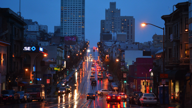
As the Bay Area braces for more rainfall, residents are being warned to prepare for possible nuisance flooding and to exercise caution while driving. According to the National Weather Service (NWS) Bay Area, "Additional rainfall today into tomorrow may result in nuisance roadway flooding," further recommending that drivers use caution. The NWS notes a "slight chance for thunderstorms" during this period. With rain showers expected to continue through midweek, the forecast suggests only a brief respite later in the week.
More rain is expected today and tomorrow, tapering off by Thursday. Slight chance for tstorms also in store for today and tomorrow. Additional rainfall today into tomorrow may result in nuisance roadway flooding, so be sure to use caution when driving! #CAwx pic.twitter.com/tH9Qx8X9en
— NWS Bay Area 🌉 (@NWSBayArea) December 19, 2023
The NWS detailed forecast advises that today’s rainfall could see amounts ranging between a tenth and a quarter of an inch, with some areas possibly experiencing heavier thunderstorms overnight. This wet weather, which has been attributed to a low-pressure system moving through the region, is expected not only to continue but to only be augmented come Wednesday. Coastal regions north of the Golden Gate are forecasted to receive between 0.5 and 1.0 inches of rain, while mountainous areas south of the gate may see around 2 inches. As per NWS Forecast, sheltered inland areas are meanwhile projected to receive between 0.25 and 0.5 inches through this event.
A slight chance of thunderstorms remains on the weather menu both today and tomorrow, as NWS's Area Forecast Discussion highlights, "Instability increase enough to support a slight chance of thunderstorms." By late Wednesday, most of the precipitation should be tapering off, but certain areas could still see continued rainfall into Thursday morning. As the weekend approaches, a drying trend is forecast, with temperatures returning to near-seasonal averages.
The rolling storms are predicted to cause disruptions in flight schedules and visibility, with an "MVFR-IFR conditions continuing this morning," a potential obstacle for aviation per the Area Forecast Discussion. The "Marine" section warns of "potentially heavier rain, isolated thunderstorms, and gusty southerly winds on Wednesday." Mariners are advised to be prepared for elevated sea conditions as a new northwest swell is expected to build throughout the night into Wednesday. Looking ahead to the weekend, northerly winds signal a shift in weather, promising clearer skies for end-of-week plans.
For those dreaming of a sunny Christmas Day, the outlook appears overcast with a "slight chance of rain," according to Detailed Forecast. The Bay Area could expect continued gray skies as they head into the holiday season, though partly sunny conditions may offer some reprieve. As the week progresses, updates on the evolving weather conditions will be critical to navigating this pre-Christmas wet spell.


