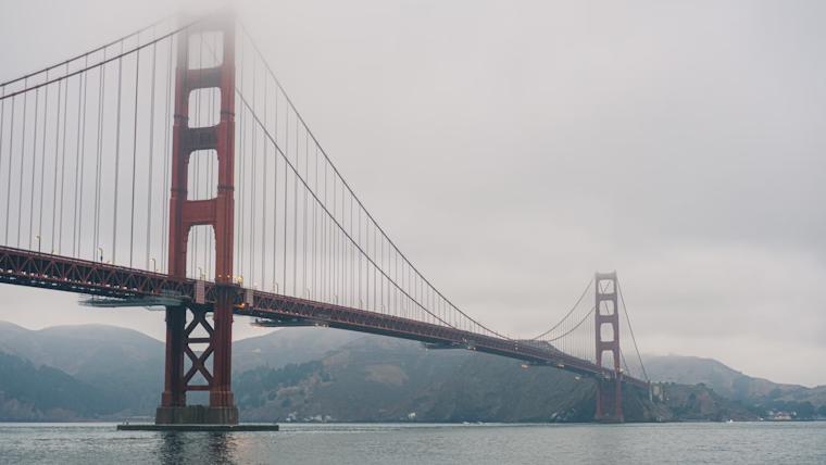
San Francisco Bay Area residents are grappling with weather conditions, from thick fog that blankets their morning commute to warnings of hazardous coastal conditions and the anticipation of rain after Christmas. The National Weather Service (NWS) issued a Dense Fog Advisory effective until 10 AM this morning for the North Bay Interior Valleys, with visibility reported to be a quarter mile or less in some areas. Commuters are advised to be cautious, as the dense fog is expected to linger, producing dangerous travel conditions, especially along Highway 101 between Santa Rosa and Novato. Meanwhile, NWS Bay Area advises drivers to slow down on the fog-enshrouded roads.
A Dense Fog Advisory is now in effect for the N Bay interior valleys through 10 AM PST. Patchy dense fog with visibilities of a quarter mile or less is being reported. Please take it slow on the roads! #CAwx pic.twitter.com/FScirYdBaH
— NWS Bay Area 🌉 (@NWSBayArea) December 22, 2023
Beyond the fog, the Bay Area is also bracing for its next rain system, which is projected to come through after Christmas, according to the NWS, gusty winds and hazardous marine and beach conditions are also expected, although what remains uncertain is the timing and location of the most intense rainfall, especially after the end of next week. Moreover, residents are being reminded to prepare by clearing their gutters and storm drains of debris during this break in the weather and keeping an eye on forecasts from trusted sources. Nonetheless, before this rainfall, the weather service advises mariners to remain in port, seek safe harbor, alter course, and/or secure the vessel for severe conditions as a Gale Warning is in effect from this afternoon to early Saturday, indicating north winds of 25 to 30 kt with gusts up to 40 kt and seas 9 to 13 ft expected.
The imminent weather shift was confirmed in advisories predicting minor coastal flooding in certain areas due to high tide, with "isolated road closures expected," signaling an active pattern of varying conditions into the New Year, high tide will peak about 7:24 am PST Friday between 6.7 to 7.0 feet, resulting in minor coastal flooding for low-lying, flood-prone spots adjacent to the San Francisco Bay. The forecast from the NWS remained optimistic for predominantly sunny skies with highs in the mid-60s leading up to Christmas Day, but noted the possibility of "multiple rounds of rain beginning the 27th lasting into early January."
The NWS has kept an eye on the situation through the night and early morning, utilizing night microphysics satellite imagery to highlight the weather features across the West Coast, like a shortwave trough/cold front approaching the Pacific NW and the dense fog in the Central Valley #CAwx. As per the Area Forecast Discussion, patchy fog, while concentrated in the North Bay Valleys, may spread to the bay shoreline. The situation is exacerbated by a benign weather pattern projected through the Christmas holiday, except for cooler overnight lows this weekend. Pattern change to wetter weather is expected after Christmas, but details on amounts and impacts remain too far to be nailed down.


