

























































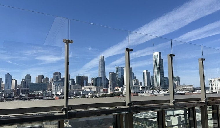
San Francisco woke today in the upper 50s, but sunshine will send temperatures into the upper 70s before the afternoon eases toward the low 70s. Farther inland, the heat will be more serious, with moderate and locally major HeatRisk expected in some areas.
Sunny Start, Stronger Afternoon Breeze
Temperatures should climb through the 60s and reach the mid-to-upper 70s around midday and early afternoon, with no rain in the forecast. Southwest winds will build from just a few mph in the morning to roughly 12 to 13 mph later in the day, according to the National Weather Service San Francisco.
The National Weather Service has also issued a Heat Advisory through 10 p.m. today for several interior Bay Area zones, where temperatures will run well above normal. San Francisco’s marine influence should keep the city cooler than inland valleys, but people heading east should plan for hotter, drier conditions.
Bay Shore Flooding Arrives With Evening High Tides
A separate Coastal Flood Advisory remains in effect through 2 a.m. Thursday for low-lying areas near San Francisco Bay, San Pablo Bay and Monterey Bay. Up to 1.6 feet of inundation is possible above ground level, with flooding most likely in shoreline lots, parks and roads and isolated closures possible.
At the San Francisco tide gauge, today’s high tide is expected around 9:02 p.m., about 1.5 feet above normal. Similar late-evening peaks are forecast tomorrow through Wednesday, so waterfront trips may require extra time and a little flexibility.
Cooling Trend Takes Over Monday
The city cools to a high near 72 tomorrow, with southwest gusts reaching up to 21 mph, and stays in a relatively mild pattern through Saturday with highs around 71 to 73. Overnight lows will generally remain in the upper 50s to around 60, while coastal fog and low clouds may return later tonight and early tomorrow.
A similar warm-and-tidal pattern appeared in a previous Hoodline forecast, but this update brings a fresh advisory window and a new run of evening high tides. Anyone traveling near the shoreline should avoid driving around barricades or through water of unknown depth, especially after sunset.





