

























































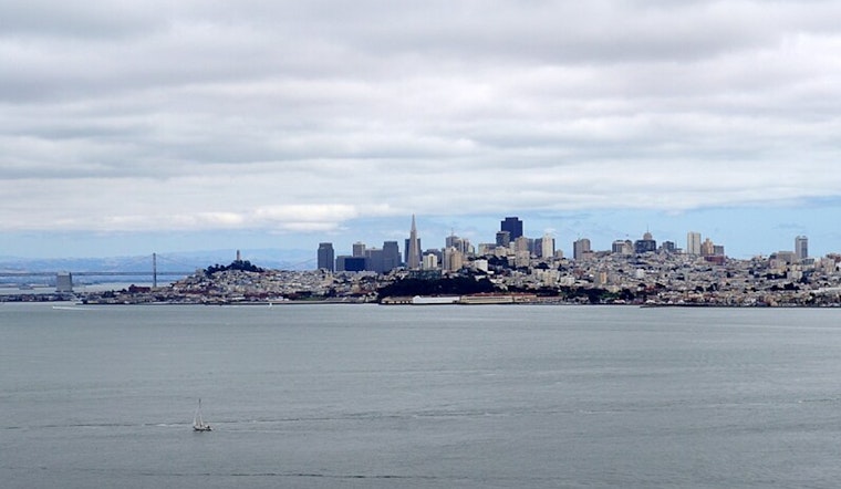
San Francisco woke up today to a cool, mostly cloudy start around 58°F, with inland neighborhoods expected to warm into the mid-70s by afternoon. At the same time, a Coastal Flood Advisory is in effect for bayshore locations through 4 AM Thursday as the highest tides of the week threaten to push water into low-lying parking lots, parks and shoreline roads. Monsoon moisture streaming north is also bringing a small shot at high-based thunderstorms through tomorrow that could toss out lightning with very little rain. If you are planning time along the bay this week, it is a good idea to check tide tables in advance and build in extra travel time.
Tides And Where To Watch For Flooding
The Coastal Flood Advisory covers bayshore areas along the San Francisco and San Pablo bays and remains in effect until 4 AM on Thursday. According to forecasters, the largest high tides may produce up to about 1.8 feet of inundation above ground level, enough to flood parking lots, parks and low-lying shoreline roads and to cause some isolated closures. If you need to travel during the evening high tides, move vehicles out of exposed lots ahead of time, allow extra time for detours and never try to drive through standing tidal water. For the full tide schedule and preparedness details, see the advisory from NWS San Francisco.
Sun, Winds And A Small Thunderstorm Chance
Midlevel monsoon moisture will keep altostratus and altocumulus clouds drifting over the region, and forecasters put the thunderstorm chance at only a few percent through tomorrow. Any storms that do form are expected to be mostly high-based, capable of producing lightning while dropping little measurable rain. Temperatures are set to warm through Wednesday, with highs near 77°F today, then in the mid-70s tomorrow and Wednesday, with cooler readings right along the immediate coast. West-southwest winds should stay light to moderate today, then pick up tomorrow, with gusts up to about 18 mph in spots. NWS forecasters note that dry lightning, while unlikely, would bring an outsized wildfire risk, so it is worth keeping an eye out for any lightning or new smoke, according to NWS San Francisco.
Plan Ahead For The Coast And Your Commute
If your evening plans take you near the shoreline, move cars and gear out of low-lying lots before high tide and avoid walking on jetties or exposed rocks when water is running high. Drivers should never attempt to motor through tidewater, since even minor inundation can stall a vehicle and create hazardous conditions. Boaters and ferry riders are encouraged to track marine forecasts closely, as seas and onshore winds are expected to trend higher later in the week and small-boat operators should be especially cautious. For low-lying commute routes, check local closure notices and leave extra time in case tidal flooding slows things down.
Quick Takeaways
Expect a cool start near 58°F, inland highs in the mid-70s, and a Coastal Flood Advisory that runs through 4 AM on Thursday, along with only a small chance of thunderstorms from today until tomorrow. If you live or work along the bay, be ready for soggy parking lots and brief road closures during the biggest high tides, and keep your outdoor plans flexible in case of late-night lightning. Hoodline will post updates if advisories change or if thunderstorm chances increase.





.jpg)