California is gearing up for a wet and wild finish to the year as meteorologists predict a series of atmospheric river-fueled storms to hit the state, bringing with them a high chance of precipitation for an extended period. According to the National Weather Service, San Francisco can expect showers likely today, mostly before noon, with a 60% chance of precipitation. Tonight, the city is bracing for showers and possibly a thunderstorm after 10 pm, with new rainfall between a quarter and a half of an inch.
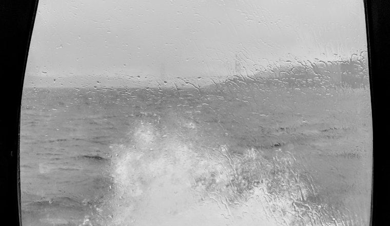
Beginning Sunday, an atmospheric river, a plume of moisture from the Pacific, is colliding with a low-pressure system and expected to cause heavy rainfall. Between Sunday afternoon and Tuesday, the Bay Area, including San Francisco and Sacramento, should anticipate 2 to 3 inches of rain, with heavy downpours forecasted along the Peninsula Sunday night. Gusty winds along the coast Monday into Tuesday may lead to downed branches and possible power outages, reports The San Francisco Chronicle, with meteorologist Brian Garcia warning of gusts in the 30- to 45-mph range.
These conditions are not unprecedented, as multiple atmospheric rivers impacted the region last winter, triggering floods and chaos. The series of storms that last struck the Pacific Northwest and Northern California have largely spared the Bay Area until now. As the SFist noted, though river flooding is not anticipated, urban streets and the smaller waterways may bear the burden of the heavy rains.
Despite the imminent deluge, residents can hope for a brief respite toward the end of next week before more precipitation is expected on Christmas Day, predicted to persist through the end of the year. Forecasters anticipate that the Atmospheric River storm next week will be a category 3, which is described by the Scripps Institute of Oceanography at UC San Diego as having a "balance of beneficial and hazardous" conditions. The Weather Prediction Center signifies there's a slight risk of flash flooding in the Bay Area on Sunday and Monday, especially in low-lying urban areas and small streams, making their way down the coast to potentially impact Los Angeles and San Diego in the latter part of the week, as reported by The Chronicle.
The series of storms will likely bring the most significant snowfall of the season to the Sierra Nevada, crucial for alleviating the snow drought impacting the region. With the Climate Prediction Center highlighting California for a range of hazards between December 25th to 29th, the state prepares for a close of 2023 that could mirror the stormy conditions experienced last year. The active weather pattern comes after a notably dry fall and is enhanced by the presence of a strong El Niño, which could indicate a wet early 2024 for Central and Southern California.


