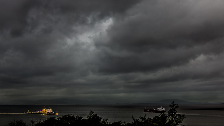
The San Francisco Bay Area braces for an onslaught of stormy weather, with the National Weather Service forecasting two consecutive rounds of rain coupled with powerful gusts that could see winds up to 50 miles per hour blasting through coastal and ridge-top areas, according to official reports. Commuters have been warned to schedule extra travel time and maintain a safe distance between vehicles as moderate rain and forceful winds raise the risk of falling trees and branches. In response to the potential hazards, the National Weather Service has issued an array of advisories, including a Wind Advisory for the North Bay Coast, citing potential dangers to property and advising locals to secure loose outdoor items.
The National Weather Service Bay Area's official X account issued stark warnings highlighting "strong southerly winds" that are projected to intensify throughout the day, with wind gusts ranging from 20 to 50 mph across various parts of the region, a separate X post emphasized the wind severity along the coast and ridge-tops where stronger gusts may peak. Residents should be prepared for possible power outages as the advisory remains in effect from 7 AM to 4 PM today, a preparation echoed in another post from NWS Bay Area that warns of a continuous weather pattern poised to persist into early January.
Strong southerly winds developing today! Wind gusts 20-30 mph across the Bay Area and Central Coast, as high as 40-50 mph at the coast and ridgetops. #CAwx pic.twitter.com/UB876D6pOJ
— NWS Bay Area 🌉 (@NWSBayArea) December 27, 2023
Adding to the inclement weather advisories, a High Surf Warning is set for Thursday, warning of extremely dangerous beach conditions brought on by the substantial swell expected to generate 25 to 30-foot breaking waves, the National Weather Service urges everyone to exercise caution and never turn their back to the ocean, as reported on their website. Detailed forecasts reveal a 100% chance of precipitation today, with new rainfall amounts possibly reaching higher volumes during thunderstorms alongside gusty south-southeast winds. At the same time, advisories stretch into the weekend, alluding to a sustained pattern of volatile marine conditions and hazardous beach warnings issued by NWS.
The weather service has already detected rainbands off the coast of northern California, signaling the wet conditions set to sweep over the Bay Area and Central Coast, causing temperatures to hover primarily in the mid-40s to low 50s early in the day. As the National Weather Service reported, these conditions are substantiated in their area forecast discussion. The forecast discussion details that gusty winds will accompany the incoming rain, with the strongest conditions predicted for coastal areas where the wind advisory has been placed. The winds are expected to taper off by Thursday as attention turns to the high surf. Once the rain and wind subside by Thursday, the focus shifts to dangerously high surf and coastal flooding, with potentially life-threatening circumstances warned against by the National Weather Service on their detailed forecast page.


