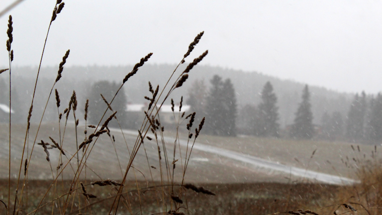
San Diegans woke up to a chilly morning with temperatures dipping into the mid 30s to mid 40s across coastal areas and even lower in the Inland Empire, the National Weather Service reported. In the mountains, the mercury plummeted to the 20s and low 30s for elevations between 4500 to 7000 feet. Highs are expected to nudge above Wednesday's numbers, but remain mostly 4 to 8 degrees below the seasonal average, promising mid 50s to lower 60s for coastal and western valley zones.
According to the National Weather Service forecast, the area will witness a modest rise in temperatures leading into the weekend, with the caveat of colder nights ahead. The coastal region is slated to get slightly cooler tonight, while the higher elevations could see a few degrees of warmth compared to the previous night. Despite semblances of a warm-up, the NWS San Diego X post update underscored the lingering low temperatures experienced early this morning. A patchy dense fog will also threaten visibility in some valleys and coastal areas until mid-morning.
— NWS San Diego (@NWSSanDiego) January 4, 2024
The NWS warned of strong rip currents and high surf in the San Diego coastal areas, urging inexperienced swimmers to stay out of the water. "Surf will peak this morning before diminishing late today and tonight," the NWS statement indicated. The Area Forecast Discussion highlighted upcoming weather challenges, including a cold low-pressure system bringing strong winds and a chance of showers by late Saturday night into Sunday, potentially affecting outdoor activities and travel conditions.
Moreover, the Inland Empire faces consecutive frost advisories, with the latest from the Weather.gov advisory warning of "temperatures falling into the lower to mid 30s late each night and early morning" that "*could* kill sensitive outdoor vegetation if left uncovered." To briefly shift with gusty north to northeast winds Friday night might offer some relief before resuming onshore again Saturday.


