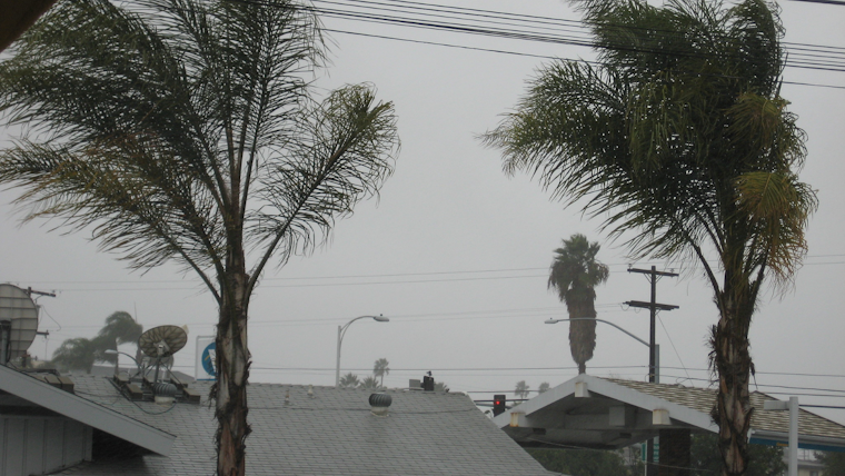
SoCal residents, get your rain gear ready as the National Weather Service in San Diego prepares you for a spell of rough weather heading your way. According to the NWS Forecast Office, Southern California is expected to be hit by a series of storms that will bring multiple rounds of rain, potentially heavy at times, and gusty winds. Don't stash away those winter jackets just yet because the mountains will also see their fair share of snow as this unsettled pattern unfurls.
The Area Forecast Discussion released by the National Weather Service San Diego CA details the weather forecast stating "slow cooling will begin to spread inland today with greater cooling on Wednesday as onshore flow strengthens" and by Thursday, a low-pressure system is expected to shake things up with "strong gusty south winds" and "widespread moderate to heavy precipitation." This weather roller coaster is set to continue through the week, with a slight chance of thunderstorms adding extra drama into the mix, though Saturday should offer a bit of a reprieve, but don't count on too much sun just yet.
The anticipated wet and windy conditions are not to be taken lightly as the forecast predicts significant rainfall ranging from 1.5 to 2 inches near the coast and even higher amounts in the mountains, which means if you live near the San Diego River in Fashion Valley, keep an eye out,"the river is expected to flood the low-water crossings on Thursday and rising above flood stage by early Thursday evening" as mentioned by the National Weather Service San Diego. Snowfall will compliment the cold splash with several inches in the mountains and over a foot above 7500 feet - winter isn't done with us by a long shot.
Mariners and beachgoers won't be spared either, as the Marine outlook for Thursday through Friday predicts strong southerly winds giving way to gales and hazardous seas, and there's a "slight chance of thunderstorms" that could electrify the sky adding a slight chance for lightning, beach bums will need to watch out for high surf as well, "with surf reaching 6-10 feet" as per the Area Forecast Discussion. The skies will clear a bit for the weekend before another low-pressure system early next week could pour on the misery again so keep those umbrellas handy and stay tuned for further updates and "likely hazard bulletins."


