San Diegans are in for a weather roller coaster this week, with the National Weather Service (NWS) forecasting a mix of slightly warmer conditions followed by a storm system set to bring rain, winds, and mountain snow to the region. The warmer weather will be short-lived, as temperatures stay near to slightly below seasonal averages for today, according to the NWS forecast.
However, a storm is expected to shake things up by Wednesday. "A storm system will bring rain and mountain snow Wednesday into late Wednesday night," the NWS says. In terms of precipitation, most areas will see less than half an inch, but coastal mountain slopes could receive up to an inch of rainfall. Snow levels are predicted to drop to as low as 4000-4500 ft by Wednesday night, with snow accumulation reaching 6 inches above 5500 ft. The Watches, Warnings & Advisories include a Winter Weather Advisory that indicates significant impacts are expected, including "Plan on slippery road conditions and reduced visibility in snow and fog."
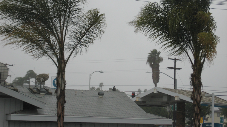
Moreover, gusty south winds shifting to the west at 20-30 mph with gusts to 45 mph are forecasted, mainly affecting the ridges and desert slopes. Coastal areas are not out of the woods either, with a High Surf Advisory in effect from Wednesday afternoon until Thursday night, portending large breaking waves of 7 to 10 feet, potentially causing "dangerous swimming and surfing conditions and localized beach erosion." San Diego County mountains are also bracing for gusty winds, with advisories warning of 20 to 30 mph west winds and gusts up to 55 mph, making travel especially dangerous for high-profile vehicles along I-8.
As the storm system pushes through Southern California, it's set to leave behind cooler air for the remainder of the week. "Wednesday will also be the coldest day of the week with highs 10-15 degrees below normal for the valleys and mountains, and around 5 degrees below normal elsewhere," the Area Forecast Discussion notes. Looking ahead to the weekend, another storm may introduce some of the coldest air of the season, along with additional rain and lower-elevation snow showers. Residents, especially in the mountain areas, are advised to remain vigilant and prepared as winter conditions persist.
The NWS's marine and beach updates are no less stark, cautioning of high and steep seas around 10-12 feet with strong rip currents and elevated surf expected from Wednesday evening through Thursday. Mariners and beachgoers are urged to take precautions: "Inexperienced swimmers should remain out of the water due to dangerous surf conditions." Next week's outlook suggests continued cool weather under dry conditions, but Southern California is holding its breath as the storm front approaches.


