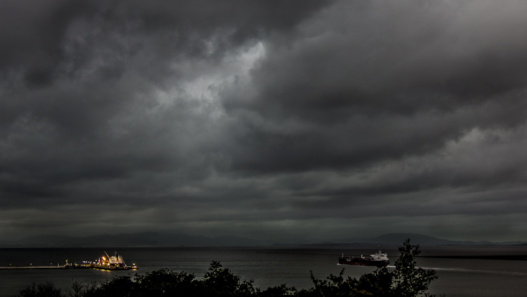
The Bay Area is staring down the barrel of a fierce storm expected to bring torrential rains, potential flooding, and formidable winds this weekend. According to the National Weather Service, a Flood Watch has been activated from 4 PM Saturday through 10 AM Monday due to an incoming atmospheric river poised to drench the region. Residents are bracing for showers that will intensify through Saturday evening into a heavy downpour by Sunday morning.
Strengthened by powerful south and southeast winds, this storm system could unleash gusts as high as 60 mph, especially in areas under a Wind Warning. The NWS advisory cautions that winds in the Wind Advisory zones are expected to reach up to 25 mph with peaks around 50 mph.
The looming storm also brings with it an increase in flood risk. The NWS warns that moderate to localized excessive rainfall could trigger a rise in streams and rivers, lingering into Monday. The situation is particularly dire for the River Fire burn area, where a Flash Flood Watch is effective from Saturday afternoon well into Monday morning. According to the NWS forecast, heavy rainfall is anticipated to pummel the area during the watch period, spurring potential flooding hazards for nearby communities.
As for the rainfall totals, they are nothing to scoff at. Forecasts estimate that from Saturday evening to Monday, the area could receive up to 7 inches of rain in the highest peaks of the Big Sur coast and at least 1.5 inches in the inland valleys like Santa Clara. Whipping wind and water together, this tempest promises to be the strongest to lash the locale in this storm season – a perilous concoction for residents and emergency services alike. Sourced from the NWS, these rain rates are intense enough to increase the chance of falling trees and power lines, presenting further risks of injury and power outages.
Local authorities are urging the public to remain alert and prepare for the inclement weather. Precautions against potential impacts, including flooding and wind damage, are being stressed. With the soil already saturated from previous showers, the NWS advises that the upcoming deluge could precipitate shallow landslides, presenting yet another layer of danger as the storm nears. Staying informed via the latest forecasts and warnings, as available on the NWS website, is paramount as the Bay Area battens down the hatches for a turbulent weekend.


