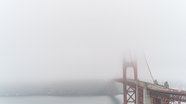
Bay Area residents are waking up to a range of weather advisories today, with the National Weather Service issuing a Dense Fog Advisory for the North Bay Valleys and Southern Salinas Valley in effect until 10 AM PST. The advice for those on the road: slow down, use headlights, and leave plenty of distance ahead.
A Dense Fog Advisory has been issued for the North Bay Valleys as well as the Southern Salinas Valley until 10 AM PST this morning. If driving, slow down, use your headlights, and leave plenty of distance ahead of you. #CAwx #BayAreaWX pic.twitter.com/Palkq46Hv2
— NWS Bay Area 🌉 (@NWSBayArea) February 12, 2024
Those in the interior parts of the Central Coast and Eastern Santa Clara Hills needed to bundle up, too, as a Frost Advisory remains until 9 AM PST due to temperatures plunging into the low-to-mid 30s, according to the National Weather Service San Francisco. This chill isn’t sticking around for long, though, as temperatures are expected to rise slightly tonight, with coastal and bay shoreline areas seeing upper 30s to mid/upper 40s.
As for the week ahead, dry conditions will stick around for the first half, but a significant change is in the works as described by the National Weather Service: "A pattern change mid-week and beyond as the Pacific becomes more active again," and it implies a wetter end to the week, starting Wednesday, shifting from beneficial rain to potentially heavy downpours by the weekend.
Meanwhile, marine conditions remain relatively calm for now, but that's set to change with "active weather and breezy winds" arriving later in the week; those heading out to sea should be ready for potentially hazardous conditions indicated by the Area Forecast Discussion from the National Weather Service, for city dwellers looking to stay dry, Saturday seems like a good day for indoor activities with rain forecasted throughout the day according to the detailed 7-day forecast for San Francisco.


.jpg)