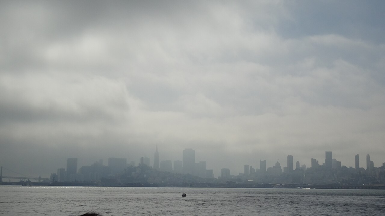
Buckle up, Bay Area residents. The National Weather Service in San Francisco has announced that a significant cold low-pressure system is set to bring rain and snow to the highlands and a bout of gusty winds through the coming weekend. Temperatures are expected to stay below seasonal averages, with the weather pattern remaining active and unsettled well into next week. According to a forecast discussion issued by the NWS, the Bay Area's highest peaks could even see a measurable snowfall, a rare event part of a larger, potentially perilous winter scenario unfolding across the western mountains.
The cold push will become known today with increasing rain and southwesterly winds that could get quite gusty. The NWS has recorded early rain in parts of Sonoma and Marin counties. As stated in an X post, "Light rain already developed in North Bay." With convective clouds spotted over the Pacific riding that arctic air, the weather service is keen to watch the situation through the weekend. The high surf advisory along the entire coastline should also not be taken lightly, with beachgoers advised against turning their backs on the ocean to avoid being caught by surprise by the large, potentially dangerous break waves.
Note the extent of convective clouds with arctic air in large scale low pressure trough along western North America. Smaller lows are present in the large scale low. Light rain already developed in North Bay. Will closely monitor this large scale trough through the weekend. #CAwx pic.twitter.com/u5MGjlRLp6
— NWS Bay Area 🌉 (@NWSBayArea) February 29, 2024
Looking further ahead, the chill and wet conditions are set to prevail throughout the weekend, with the possibility of a brief respite either late Sunday or early next week. The variability in long-term forecasting offers little comfort as discrepancies beyond the five-day mark leave room for speculation on whether another Pacific low pressure system might move in next week, potentially adding more rain to an already watery March—the fourth wettest month of the year for many in the forecast area.
Aviation and maritime interests are not spared the brunt of this system either. The NWS has issued advisories warning of conditions hazardous to small craft with wave heights expected between 15 to 20 feet. Meanwhile, most regional airports are anticipated to experience MVFR conditions due to rain showers and gusty winds. As per the NWS aviation forecast, winds could gust up to 30 knots today, particularly challenging for the San Francisco and Monterey Bay terminals. Travelers should prepare for potential delays and monitor updates closely.


_(2).jpg)