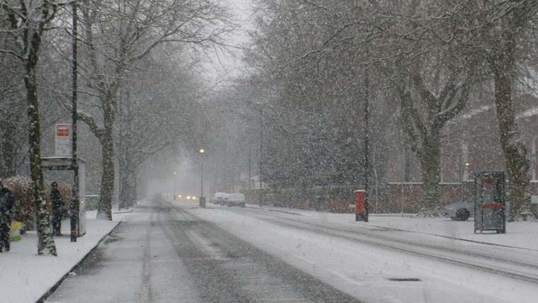
Beneath the unyielding grip of a fierce winter, Southern California is experiencing a notable temperature drop and an onslaught of adverse weather conditions. According to the National Weather Service San Diego, coastal regions are enduring mid-50s while the valleys face mid-40s to mid-50s. In a revealing nod to the chill, mountainous areas from 4500 to 7000 feet are grappling with mid-20s to mid-30s Fahrenheit.
As the winds strengthen across the region boldly, gusts could accelerate up to 50 to 60 mph before they're expected to taper off during the late afternoon and evening. A series of scattered and snow showers will likely persist along and west of the mountains through Friday. "Scattered snow showers will continue in the mountains through Friday," according to forecasts, warranting weather advisories and heightened awareness among residents.
The situation along the coastline is less white but equally waterlogged, with rainfall projections ranging from less than one-tenth of an inch near the coast to one-half inch in the mountains. The snowfall intensifies in the Riverside and San Diego Counties' mountains, with the new snow level appearing to dramatically dip to 3000 to 3500 feet in the early morning before rising later in the day.
The maritime community isn't spared either, with the Marine Forecast anticipating brisk westerly winds sincerely gusting over 25 knots and choppy seas. Beachgoers and surfers are advised to exercise extreme caution as surf could soar to 8 feet, potentially leading to hazardous swimming conditions, minor flooding, and beach erosion. "Surf will be 3 to 6 feet with sets up to 8 feet today," the advisory warns, emphasizing the risk posed along the shorelines.
The region is expected to witness a dry spell with a slow warming trend as high temperatures gradually approach average levels for the middle of next week. However, another system could usher in a wetter pattern around the weekend of February 17 and 18.


