San Diego residents should enjoy the fair weather while it lasts, as forecasters predict an incoming storm will soon bring rain and potential local flooding, particularly in Orange and San Bernardino Counties. According to the National Weather Service (NWS) Forecast Office in San Diego, today's highs will stay in the comfortable 60s west of the mountains, with slightly chillier temperatures anticipated in the high desert and mountains but rising to the low 70s in the lower deserts.
Friday is expected to be the warmest day of the week, thanks to high pressure and a touch of offshore flow. Temperatures are set to climb into the 70s in more populated low-elevation areas. However, a substantial change is on the horizon. The NWS San Diego notes, "An incoming Pacific storm system will significantly cool things down and bring wet weather from Monday through Wednesday."
Forecast discussions indicate a "weak trough of low pressure" impacting the region today, moderating the warmth. Over the weekend, a couple of quick-moving atmospheric disturbances will break down the weak ridge along the West Coast, shaking up the largely stable patterns in place so far. As the system gets closer, the subtropical moisture is expected to be drawn into Southern California, leading to an uptick in rainfall by the end of the weekend.
Affecting Orange County more severely, the storm totals Monday through Wednesday are projected to range from 1.50 to 2.00 inches of rain. Meanwhile, the Inland Empire might see 1 to 2 inches, and western San Diego County could receive 0.50 to 1.30 inches of precipitation. The mountains of southern San Diego are looking to get a higher count, possibly up to 4.00+ inches, especially in the San Gabriels. However, the high and low deserts are forecasted to get significantly less rain. According to NWS San Diego's Area Forecast Discussion, "With so much uncertainty, just plan on these numbers changing as fresh guidance and analysis prompts us to adjust in coming days."
For coastal dwellers and those planning to hit the beaches, the weather service cautions that a large, long-period west swell arriving Sunday morning is likely to generate significant surf conditions on west-facing shores. Beachgoers and residents near the water should be mindful of the potential for tidal overflow and minor beach flooding early Sunday and Monday. The NWS has also issued an advisory concerning another powerful swell that could maintain high surf conditions into Tuesday. Mariners, likewise, are advised that while no hazardous marine weather is expected through Sunday, things are set to change with the upcoming storm.
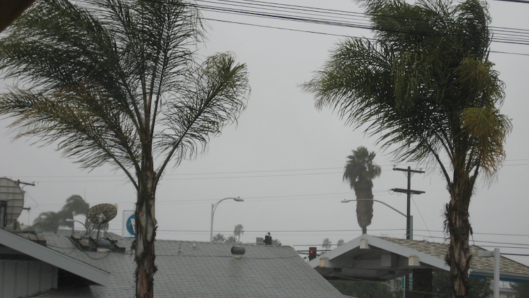
As Southern California braces for the wet and windy weather ahead, the NWS has also flagged strong and brisk southerly winds on Monday and Wednesday, particularly across mountainous and desert areas. Although snow levels are expected to stay above 6,500 feet, there might be some "modest" snow accumulations in areas like Big Bear Lake and heavy snowfall above the 8,000-foot mark. Residents in affected regions are advised to stay tuned for further updates and prepare for the stormy weather.


