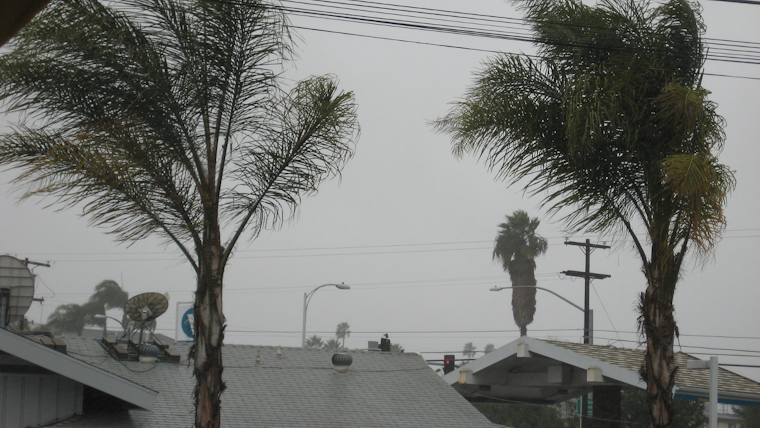
Brace yourself, SoCal! Forecasters at the National Weather Service in San Diego are calling for another wave of rain and heavy snow in the region. The existing scattered showers are just an appetizer for the main course coming tonight and early Thursday - a low-pressure system that promises more widespread showers, a chance of thunderstorms, and some serious snowfall in the mountains, the National Weather Service said.
San Diego's mountains are on high alert with a Winter Storm Warning. Residents can expect 2 to 24 inches of snow depending on the altitude, while strong gusty west winds will also make their presence felt with speeds ranging from 25 to 60 mph across different parts of the region. In a statement obtained by the Weather Service, "another weak low pressure system from the north could bring some additional enhancement of showers for Thursday night," which could extend the wet conditions round through early Friday.
As if the skies aren't dramatic enough, there's a chance of thunderstorms, especially in San Diego County this morning, that could lead to lightning and erratic winds. The impending low-pressure system will also trigger moderate to heavy rainfall for the coast and valleys, potentially escalating to flooding. A Flood Watch is also in effect until Thursday 6 AM for coastal to mountain areas below the snow level. This is due to the main threat tonight with the possibility of training of cells with high-intensity rainfall, according to the Area Forecast Discussion.
The National Weather Service also cautioned that the San Diego River will remain near flood stage today, posing flooding threats at low-water crossings, with levels expected to fall below the critical points late Thursday or Thursday night. For boaters and beachgoers, a Small Craft Advisory and Beach Hazards Statement are in effect through Thursday evening. With surf heights reaching 3 to 7 feet, conditions could be dangerous for swimming and surfing and may also result in minor flooding and beach erosion.


