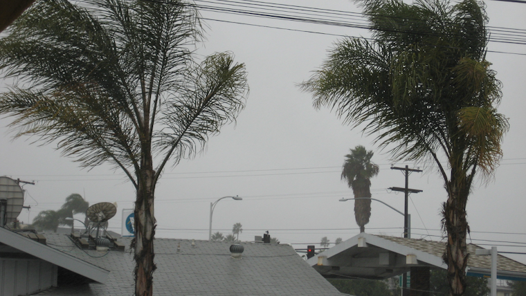
SoCal braces for hefty rainfall and mountain snow as a slow-moving trough coupled with an atmospheric river is set to douse the region with a prolonged period of inclement weather, creating a moderate to high risk of flooding, per the NWS Forecast Office San Diego. Beginning this afternoon, Southwestern California, including Orange, San Diego, Western Riverside, and Southwestern San Bernardino counties, will be soaked in heavy showers peaking on Monday and Tuesday, with potential flooding on the horizon.
Gusty south winds are expected to roar ahead of the trough, near the coast and notably in the San Bernardino County mountains and deserts—with winds clocking in near the coast at around 35-45 mph and stronger gusts up to 65-70 mph possible along the desert slopes. Residents have been placed on a wary alert for a persistent downpour, potentially clogging drains and waterways, according to an NWS statement. The relentless rain, expected to accumulate impressive totals, could spell trouble for the area. Rainfall forecasts suggest 4-5 inches in Orange County, with even higher amounts predicted for the coastal slopes of the San Bernardino Mountains, where local downpours may intensify flooding risks.
The deluge will also bring substantial snowfall, especially in the higher terrain. Snow levels will rise to 7,000-8,000 ft tonight but will lower to about 5,500-6,000 ft by Tuesday, posing challenges to mountain communities as the snow accumulates. Areas above 8,000 ft may witness multiple feet of snow, while 7,000-8,000 ft could see between 9-20 inches, and 6,000-7,000 ft might be blanketed with around 4-9 inches, predominantly occurring on Tuesday. The mercury is set to plummet, with temperatures expected to be 10-15 degrees below normal by Tuesday, painting a chilly scenario for the region.
Though the week remains under the grip of the long-wave trough, with several short waves traversing California, lighter showers will persist into Wednesday and Thursday, with a weaker atmospheric river bringing more rainfall on Friday. Snow levels are expected to hover between 4,500-5,000 ft, with additional snow accumulations of 3-8 inches in the mountains, as outlined in a detailed area forecast discussion provided by NWS. Despite the tendency for slow warming through the week, highs will continue to sit noticeably below normal.
The immediate coastline is warned of a high surf through Monday night, with Orange County surf predicted to reach 4 to 8 ft, and San Diego County could confront even larger swells of 6 to 10 ft on Monday. This surge promises rip currents and potentially dangerous swimming conditions. Boaters should also beware; gusty south to southeast winds will continue through Monday evening, with peak gusts at 25-30 kt stirring seas to 10 to 12 ft, occasionally soaring to 14 ft. As the wind and rain barrage the coast, thunderstorm chances linger for Sunday night and into Monday, then again on Tuesday, creating a mix of hazards for those venturing near the ocean.


