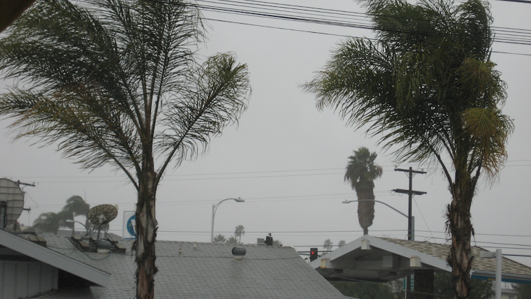
The National Weather Service in San Diego forecasts a gusty and wet weekend for Southern Californians. A large low pressure system moving slowly inland along the West Coast will bring "gusty west winds for the mountains and deserts," with the strongest gales expected on Saturday afternoon and night. Wind speeds might reach a whopping 70 to 80 mph, with certain spots potentially seeing isolated gusts around 100 mph, NWS San Diego reports.
The weather gurus are predicting precipitation across the region starting late Friday and lasting through to Sunday. Rainfall estimates have coastal areas receiving about one-quarter inch and the mountains getting anywhere from half an inch to a full inch, according to the Area Forecast Discussion by NWS San Diego. In an unfortunate twist, southern San Diego County residents can expect less than one-tenth inch of rain. The snow level is anticipated to dip from around 6000 feet on Saturday to 4500 feet by Sunday, so those higher up might see 3 to 6 inches of snow accumulation.
And what of the temperatures during this tumultuous time? The NWS' official Twitter account @NWSSanDiego said that highs in San Diego and other coastal locales will hover in the mid-60s for Thursday and Friday before dropping to the low 60s over the weekend. Temperatures in the mountains and inland valleys are also expected to cool, with highs potentially falling "as much as 10 to 15 degrees below average." Boaters should also be alert, as "stronger winds and higher seas could produce hazardous conditions for small craft Saturday and Sunday," warns the NWS.
Highs in San Diego and other coastal communities will be in the mid 60s Thursday and Friday, then fall to the low 60s over the weekend. #cawx pic.twitter.com/d5heeLPZyo
— NWS San Diego (@NWSSanDiego) February 28, 2024
As Southern Californians prepare for the incoming weather, it's clear that the skies will be doing more than just the usual sun-kissed performance this weekend. From the shorelines to the mountain ridges, winds will be revving up, rainfall ranging wide, and snow levels sinking lower. The marine layer will also join the mix, bringing patchy drizzle to both coast and valleys, says the NWS office. While the storm system is set to move out by Sunday afternoon, the reprieve will be short-lived: another chance for precipitation is lurking around the midweek mark.


