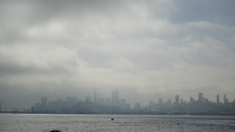
Bay Area residents aren't out of the woods just yet with another day of erratic weather ahead. The National Weather Service Bay Area warns to keep umbrellas close as scattered showers and storms are expected to dominate the day. Despite some deceptive breaks of sunshine, stronger storms later in the afternoon could bring heavy rain and small hail, according to the NWS Bay Area's forecast.
Look for another active weather day with scattered showers and storms. There will be breaks and even some sunshine, but don't be fooled. Keep the umbrella handy! Stronger storms will bring heavy rain and even some small hail this afternoon. #cawx pic.twitter.com/6ASrCMeR81
— NWS Bay Area 🌉 (@NWSBayArea) March 30, 2024
The soggy conditions stem from a lingering low pressure system, "bringing scattered showers and isolated thunderstorms," noted the NWS San Francisco CA in their Area Forecast discussion earlier today. Lightning and small hail are also on the docket with "occasional lightning, locally heavy rainfall" cited as potential hazards. The most significant weather is expected to hit from late morning through early evening, with localized flooding not off the table.
Further disturbances over a waters mean that a Small Craft Advisory is in effect for certain coastal areas. Mariners are cautioned to expect showers and a slight chance of thunderstorms throughout today and tonight, with deteriorating conditions predicted as a result of the cold and unstable air associated with the offshore low pressure system. The NWS anticipates a high pressure system to build in, introducing drier and milder conditions as the week progresses.
Meanwhile, temperatures are set to stay cool in the lower 60s during the day and dip into the 40s at night. As the low pressure finally meanders southward, shower chances should significantly decrease by tonight. Residents can look forward to a reprieve with the forecast promising a warming trend toward the middle of next week, as per the NWS's long term outlook.


_(2).jpg)