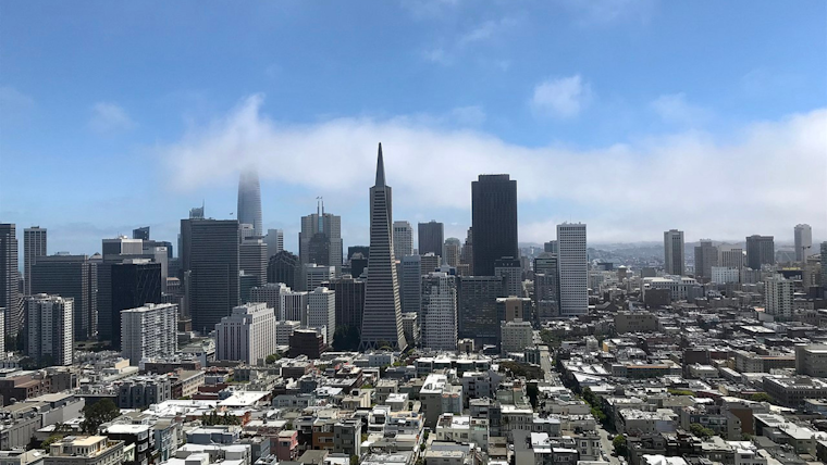
Bay Area residents can expect to swap their umbrellas for sunglasses as the weather takes a turn for the drier and warmer, forecasts predict. The last of the light rains should dissipate this morning, according to the National Weather Service, with NWS Forecast Office San Francisco. The shift will bring about gusty winds by Wednesday evening, followed by higher temperatures as the week progresses.
In what could be deemed a brief interlude, the Bay's meteorological narrative is set to exchange rain showers for gusts and sunshine. "Light rain showers this morning will give way to a prolonged dry period across the region as high pressure builds across the eastern Pacific," announced the National Weather Service in an Area Forecast Discussion. They also predict the emergence of "breezy to gusty northerly winds" that will commence on Wednesday and persist into Thursday. Despite the unsettling wind, the impending warmth might offer a sweet reprieve, with the mercury tipped to hit a spring-like mid-70s inland by the weekend.
Today's transitional weather is tied to a departing weak cold front that should bring about clearing skies by this afternoon. Highs are expected to hover in the lower 60s away from the coast. "Clouds should clear from north to south this afternoon thus allowing high temperatures to reach the lower 60s for most areas away from the immediate coast," was shared by NWS in their morning report. Breezier conditions are expected to ruffle some feathers along the coast and the higher peaks of the coastal ranges, with gusts in the 15-20 mph range.
Gearing up for the midweek, Wednesday night and moving into Thursday will see potent offshore winds, which could spell trouble for those caught unawares by gusts reaching up to 40-50 mph within the higher terrain of the North and East Bays. "This will translate to strong wind gusts of 40-50 mph within the higher terrain of the North and East Bays, with some potential for gusts to around 40 mph mixing down within the East Bay Valleys," the National Weather Service warned. Locations along the SF Bay shoreline might face bracing winds as they blow through the gaps in the coastal terrain.
Mariners are also advised to brace for choppier conditions with a "Small Craft Advisory from 3 PM this afternoon to 9 PM PDT this evening for Mry Bay," and "Small Craft Advisory until 9 PM PDT Wednesday for Pigeon Pt to Pt Pinos 10-60 NM-Pt Arena to Pt Reyes 0-10 nm-Pt Arena to Pt Reyes 10-60 NM," as stated by the National Weather Service. Meanwhile, a tweet from @NWSBayArea also hints at a welcome "warmer and drier conditions for mid-month and beyond."
Good morning! Light rain tapers off this morning, with breezy to gusty winds late Weds into Thurs. Then look for warmer and drier conditions for mid-month and beyond. Are you ready for a weather pattern change? #cawx pic.twitter.com/jPqnorUuRF
— NWS Bay Area 🌉 (@NWSBayArea) March 12, 2024
As Northern Californians prepare to ditch their wet-weather gear, the region's weather narrative, characteristically fickle, is about to sidestep into a chapter of dry and warming trend. This shift, albeit blustery in its inception, signals an intermission in the rainfall, offering a glimpse of an early spring, backdrop courtesy of the NWS' latest projections.


