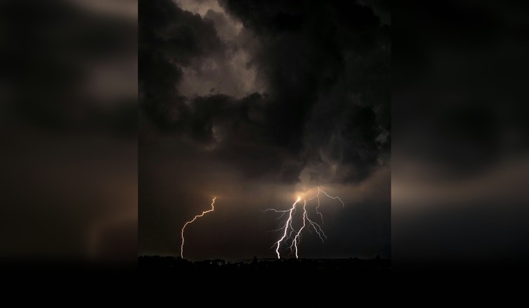
Chicago residents are bracing for a day of turbulent weather today, with forecasts predicting a mix of showers, thunderstorms, and gusty winds. According to the National Weather Service, the city will face a chance of showers and thunderstorms before noon, followed by more consistent precipitation and possible flurries into the evening. Temperatures are expected to drop from a peak of 53 degrees early in the day to around 44 by afternoon.
The weather outlook includes a "Limited Thunderstorm Risk" with a potential for damaging wind gusts reaching up to 65 mph. These conditions are forecasted mainly east of I-55, particularly between 10 am and 1 pm, the NWS advisory states. Gale force winds are also expected to affect the Lake Michigan shores, impacting both the Illinois and Indiana nearshore waters with gusts that could surpass 55 knots, posing risks to small craft later in the week.
Despite today's severe forecast, Chicagoans can look forward to a reprieve as the week progresses. The National Weather Service indicates that dry weather will return on Wednesday with a gradual warming trend expected through the end of the week. However, rain chances are set to make a comeback by Friday night and will persist over the weekend.
There will be a brief threat for a few strong to severe storms, mainly between 10 am and 1 pm today. The strongest storms could produce damaging winds. While a lower threat, a brief tornado cannot be ruled out. The main threat areas is generally east of I-55. #ILwx #INwx pic.twitter.com/d2N6XUK7tz
— NWS Chicago (@NWSChicago) March 26, 2024
Navigating through Chicago's temperamental climate, city officials have not planned spotter activation due to the brief nature of the severe risk; situations though, can rapidly change, so the public is advised to stay vigilant and heed any further advisories. With Monday also forecasting more showers, and hazardous conditions for small craft likely, Chicago's inhabitants are reminded to prepare for unpredictable spring weather patterns.


