Southern Californians began today with a chilly start, facing cooler weather and potential roadway disruptions due to a persistent winter weather pattern. The National Weather Service (NWS) in San Diego reported that highs for today would range from the lower to mid 60s along the coast, dipping to the mid 30s to mid 40s in mountain regions between 4500 to 7000 feet. This comes as certain mountain areas are experiencing temperatures up to 15 degrees below average.
Struggling against strong winds gusting as high as 50 mph, deposits of snow less than 2 inches are still expected above 5500 feet until noon. These conditions, warned by the NWS in their advisory, could impact the morning commute, particularly in the San Diego County Mountains. Residents are advised to exercise caution, with high winds capable of bringing down tree branches and complicating travel.
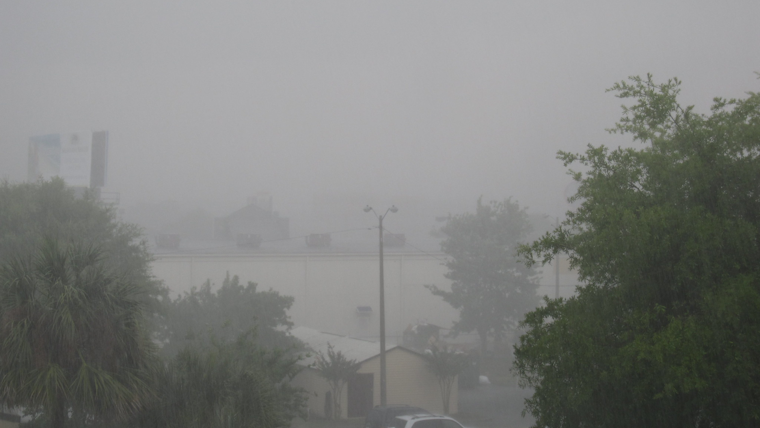
The region is not out of the woods yet, as the forecast strongly recommends some precautions. "Rainfall from the coast to the mountains has mostly been from one-third to two-thirds of an inch with local amounts to around one inch," detailed the NWS in their discussion. They predict one last round of widespread showers and a slight chance of thunderstorms for this afternoon and early evening, primarily centered around the Inland Empire into the Riverside County mountains.
However, relief is on the horizon. Temperatures are expected to take a u-turn and gradually increase over the weekend. "Friday and Saturday will dry and warmer with Saturday high temperatures warming to around average with not much change for Sunday," the NWS stated in their area forecast discussion. Though, a touch of cooler air is slated to breeze in early next week as a low-pressure system to the north strengthens the onshore flow.
Mariners and beachgoers are being cautioned as well, with stronger northwest winds and choppy seas forecasted for today, prompting a Small Craft Advisory issued until this evening. The NWS also predicts elevated surf up to 6 feet until Friday morning, which could create stronger rip currents. The community, by and large, is encouraged to stay vigilant as this dynamic weather situation unfolds.


