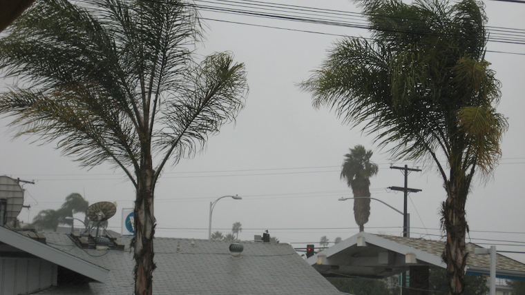
A significant change in weather is rolling into Southern California, bringing widespread rain and snow, as well as thunderstorms and cooler temperatures. According to the National Weather Service Forecast Office San Diego, the region is gearing up for a low-pressure system that will unleash the most expansive precipitation tonight and continue into Thursday evening. Coastal areas can expect rainfall ranging from one-third to one-half inch, while the mountains may see up to an inch of rain.
Adding a twist to the inclement weather, a chance of thunderstorms is slated for this evening. With the snow level starting around 6,000 feet, it will drop to about 5,000 feet late tonight and into the early hours of Thursday—rising back to 6,000 feet by Thursday afternoon. In its trek, moving eastward across the area tonight, the low-pressure system is set to disperse snow across the higher elevations, with "1 to 3 inches expected from 5500 to 6500 feet, and 3 to 6 inches above 6500 feet," per the NWS Forecast Office San Diego.
The same weather system is poised to cool down the region significantly into Thursday, with mountain areas bracing for temperatures "10 to 15 degrees below average," as reported by the Area Forecast Discussion from the National Weather Service San Diego CA. By Friday, a respite is expected with drier conditions and temperatures climbing roughly 5 to 10 degrees across lower elevations and mountains, respectively. However, gusty winds are due to whip up ahead of this cold front by late afternoon, shifting from southwest to west post-front tonight.
Marine conditions off the San Diego coast are also anticipating some rocky weather. A forecast from the NWS indicates "Thunderstorms are expected to develop along a front moving west to east through the coastal waters this afternoon and evening." Notably, these thunderstorms could churn the waters with erratic winds reaching 30 knots, coupled with heavy rainfall reducing visibility, and even the potential for waterspouts. Following the storms, the outer waters will be contending with stronger northwest winds and rougher seas through Thursday night, culminating in elevated surf and a high risk of rip currents along west-facing beaches of San Diego County by late Thursday into early Friday.
Residents of the region are also bracing for potential travel disruptions, with winter weather advisories in effect for the San Bernardino and Riverside County Mountains. The warnings predict treacherous conditions for drivers as snow begins to blanket the roads later today into noon PST on Thursday. Individuals navigating through these conditions should proceed with caution and remain vigilant for any updates as the low-pressure system makes its way across Southern California.


