Bay Area residents are bracing for a significant shift in weather as the National Weather Service forecasts a stormy weekend. The timing of the weather system suggests the onset of showers late Friday and into Saturday, according to a graphic from the NWS Forecast Office in San Francisco. With a mix of showers and thunderstorms continuing throughout Saturday and slick roadways on the horizon, the weather shift portrays a stark contrast from a period of warm and sunny days.
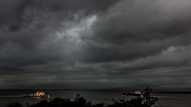
Alongside the precipitation, thunderstorms are a potential threat, particularly south of the Bay Area. At the same time, the primary concern lies with "copious amounts of small hail" forecasted that could result in hazardous driving conditions, as per the NWS notice. Gusty winds, accompanying the system, may also knock down tree limbs and power poles, adding to the anticipated weather tumult. The NWSBayArea's latest X post confirms that winds will shift to a strong southwest breeze Friday, remaining robust through Saturday.
Winds will shift to a strong SW breeze through the day Friday and remain strong through Saturday. pic.twitter.com/StljnLMSBv
— NWS Bay Area 🌉 (@NWSBayArea) April 12, 2024
Forecasters at the National Weather Service San Francisco CA further detailed the weekend's outlook, saying "Cooler and cloudier for Friday as highs fall back into average range as the next rain-maker nears," indicating a breezier and gustier afternoon with light pre-frontal rain following the incoming rain band overnight, according to their Area Forecast Discussion. As the cold front associated with the trough moving along the west coast makes its approach, Southwest winds will build ahead of it this afternoon, with some sprinkling expected ahead of the main event.
The extended forecast predicts scattered showers and storm chances through Saturday with some lingering showers into Sunday, while storm chances on Saturday are pegged around 25% by evening primarily off the coast of Santa Cruz Co and the Monterey Bay. Weekend rainfall totals could reach up to 2 inches or more on the highest peaks of the Big Sur Coast, bringing a considerable amount of water to the region over the course of just a few days, with hopes of a ridge pattern arriving quick on the heels of the weekend's rains, signaling a return to drier conditions and a warming trend as the new week progresses.
Traveling by sea will present its own set of challenges as moderate to fresh northwesterly breezes shift southwesterly and intensify becoming fresh to strong ahead of the storm, per the Marine section of the NWS forecast; this means boaters should prepare for stronger winds, rain, and potential thunderstorms whilst a moderate period of northwesterly swell continues throughout the weekend.


