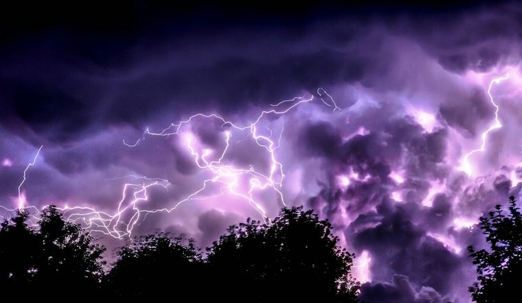
Washington D.C. locals should brace for a weekend of wet weather as the National Weather Service reports a 60% chance of showers later this afternoon, likely to persist into the evening with the possibility of thunderstorms forecast. Conditions are expected to remain unstable through next Friday, with temperatures peaking at a comfortable 76°F on Monday and Wednesday but coupled with shower risks and potential thunderstorms during several of these days.
In addition to the rainy forecast, D.C. residents are warned of coastal flooding with up to one foot of water inundation predicted in low-lying areas close to the Tidal Basin and Jefferson Memorial, this advisory marks yet another interruption from nature's course, amid a season where the District's weather patterns have swung from one extreme to the other, the advisory remains in effect from 8 AM to 2 PM today "especially around the time of high tide," according to National Weather Service. Today's high tide at Washington Channel is scheduled for 11:04 AM, with tides predicted to be one to one and a half feet above normal.
As Monday promises clearer skies and a warm high of 76°F, residents should not get too comfortable; the week's weather narrative will swing back into a pattern of precipitation unpredictability, with the chance of showers returning Monday night and carrying on through the week," according to National Weather Service.


