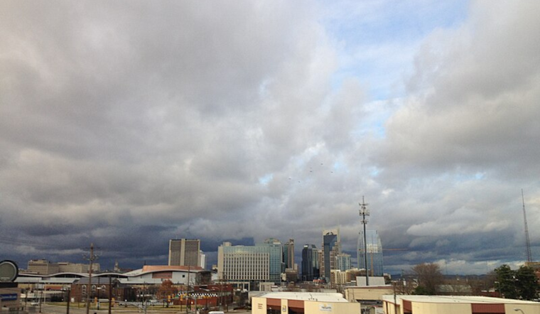
As the fog lifts over Nashville this morning, the city braces for a medley of sun and sporadic storms, according to the National Weather Service. With a calm breeze, the South Southwest wind is expected to pick up by afternoon, escalating chances of scattered showers and thunderstorms post 4 pm, a slight 20 percent shot but enough to merit packing an umbrella alongside sunglasses.
The weather pattern shows little consistency. Tonight's skies will partly cloud over as temperatures dip to a low around 69, and the calm winds will do little to disperse any lingering humidity. While the chance of rainfall hangs at a meager 20 percent, it signals the fickle nature of Tennessee's spring—clear one moment, storming the next.
Moving into Tuesday, the NWS forecasts a 50 percent probability of showers and thunderstorms, primarily after the morning hours, as the city will peak at 84 degrees amidst variable cloudiness and a persistent southern draft. Rain amounts may be slim, yet the presence of thunderstorms suggests higher totals where they hit.
"Showers and possibly a thunderstorm" are the expectations for Wednesday, with a commanding 90 percent chance of precipitation, says the NWS. Locals and visitors alike should gear up for a wet midweek surge, while gusts could reach up to 20 mph, adding a brisk edge to the otherwise warm, high-85 day.
As the week progresses, the meteorological rollercoaster continues Thursday. Into the weekend, Nashville is slated to see similar patterns of foggy mornings and a slight 20 percent chance of rain punctuating sunny skies, temperatures floating comfortably in the mid-80s. Against this backdrop, the nights promise clearer skies, with a recurrence of patchy fog as the only blip to watch for, particularly late Friday and into Saturday morning.


