The National Weather Service in San Francisco cautions residents about the potential risk of dry lightning in the Bay Area, particularly the Central Coast and parts of the South Bay on Monday and Tuesday. According to the NWS forecast, there is a 10-15% chance of a dry thunderstorm. Such events could ignite grass fires quickly, given the dry fuel beds in the area, and gusty winds could exacerbate the situation.
Temperatures are expected to hover slightly above seasonal averages, with a slight cooling trend midweek. Yet, "the three ingredients necessary for any convective activity are moisture, instability, and lift." While moisture seems likely, with precipitable water values reaching 1–1.25, the forecast remains uncertain about instability and lift, as reported by the NWS Area Forecast Discussion. There's also talk of a "low confidence-high impact" event due to the unpredictability of potential convection leading to dry lightning.
The NWS expects mid-level moisture to stick around on Tuesday, with uncertainty persisting and precipitable water values possibly spiking to 1.5". However, an upcoming upper-level trough on Wednesday could drive out the moisture and signal a general temperature cooldown. By the weekend, inland valleys may see temperatures predominantly in the 80s. Further mild warming is anticipated towards the end of the 7-day forecast period.
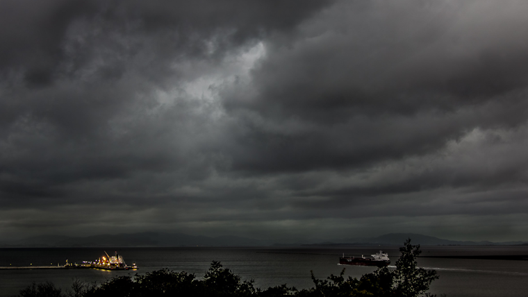
Maritime conditions are notably rough, with a Small Craft Advisory in place until Tuesday morning for certain coastal waters north of the Bay Area. "Hazardous conditions for small crafts persist across the northern coastal waters through early week," warns the NWS. The combination of strong northwest winds and tall wave heights, expected to peak at 10–11 feet through the day before subsiding, underscores the need for marine caution in the region.
Another development from the NWS is the automation of Regional Temperature and Precipitation (RTP) data collection beginning July 1. The new automated RTP will disseminate reports twice daily and include climate data from area sites, which will be preliminary until validated by the National Center for Environmental Information.


