

























































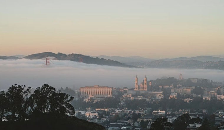
San Francisco is starting today under a familiar summer mix of cool air, low clouds and a small chance of drizzle. Temperatures near 57 degrees early will climb into the upper 60s before the afternoon sea breeze sweeps in, making this more jacket weather than beach-towel weather.
Morning Drizzle Gives Way To Sun
A slight chance of drizzle is expected before 11 AM, especially near the coast and higher terrain. Skies should turn partly sunny late in the morning, with temperatures peaking near 69 degrees before easing back toward the mid-60s later in the afternoon.
West-southwest winds will begin around 3 to 5 mph and strengthen through the afternoon, reaching 13 mph with gusts up to 18 mph. The National Weather Service forecast calls for the marine layer to compress, which should limit how far the low clouds push inland while keeping coastal neighborhoods gray and damp at times.
A Cool, Breezy Week Ahead
Tomorrow will be partly sunny with a high near 67 degrees and gusts up to 20 mph. On Tuesday and Wednesday, temperatures should reach the upper 60s, while Thursday through Saturday look slightly cooler, with highs mainly in the mid-60s.
Overnight lows will stay near 57 or 58 degrees, and mostly cloudy skies are expected on most nights. The National Weather Service describes the broader pattern as a gradual warming and drying trend, but San Francisco’s coast will remain cooler than inland areas with morning and evening clouds.
No Advisories, But Keep An Eye On The Breeze
No watches or warnings are posted for San Francisco or nearby waters. For outdoor plans, the most comfortable window should be late morning through early afternoon, before west winds pick up and temperatures start to slip.





