The National Weather Service (NWS) has reported that the San Francisco Bay Area will experience a squeeze in the marine layer, resulting in cooler temperatures through mid-week before a gradual warm-up commences. Inland temperatures are predicted to reach the upper 80s to mid-90s, with coastal areas staying relatively cooler under the influence of the marine layer. According to the National Weather Service forecast, there's also a slight chance for isolated dry lightning, particularly in the Central Valley and Sierra Nevada, towards the end of the week.
Commuters driving through the North Bay and Salinas Valleys were cautioned this morning via an NWS Bay Area post to remain vigilant due to scattered fog. The marine layer has compressed "from around 2000 feet yesterday to around 1000 feet now," impacting visibility. This compression signifies a forthcoming shift in weather, anticipated to bring warmer conditions inland as the week progresses.
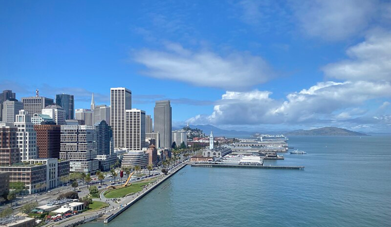
In its Area Forecast Discussion, the NWS further details that "coastal areas will still be under the influence of the marine layer," ensuring that the coast will not significantly warm up throughout this period despite the warm-up experienced inland. The forecast indicates that inland regions will likely see their highest temperatures around Saturday, with potential highs in the mid-90s to 100.
The forecast discussion also mentions a weak push of monsoonal moisture potentially affecting central California. While the effects are predicted to be most pronounced in the Central Valley and Sierra regions, the NWS will monitor for any changes that could impact the Bay Area's eastern zones. "At this time, there does not appear to be enough mid-level instability to support high-based convection across our zones," the Area Forecast Discussion notes.
In terms of marine conditions, boaters can expect gentle to moderate northwesterly breezes with fresh gusts, according to the NWS marine forecast. Wave heights are predicted to remain in the 5-7 feet range for the duration of the forecast period, indicating relatively mild conditions at sea for the upcoming days.


