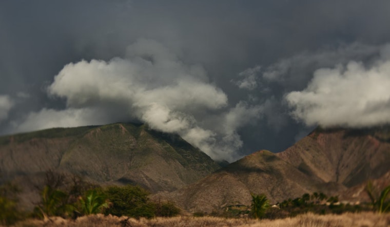
The Hawaiian Islands are in for a steady increase in trade winds and showers favoring windward and mauka locations, according to the latest updates from the National Weather Service (NWS) in Honolulu. The NWS indicates that this is due to a weakening trough near Kauai moving away from the region, as the surface ridge intensifies to the north. While mostly dry conditions are expected to prevail over leeward areas, islands may receive occasional brief showers.
Apart from the increasing winds, the NWS also predicts a band of moisture that will likely enhance shower activity across various parts of the state, with "precipitable water values up around 1.4 inches." These showers are expected to bring light accumulations, although they may, still spread to drier leeward areas. The Big Island has started seeing drier conditions this morning, which will likely continue as the trough moves further away.
The aviation industry will also feel the impact of these changes in weather patterns. In anticipation of strengthening trade winds, a turbulence advisory, known as AIRMET Tango, is set to be issued later today. For mariners, a Small Craft Advisory (SCA) has been expanded to include the Pailolo Channel and Maui windward waters, reflecting the high-resolution model data forecasting increased wind pressure.
The surf report suggests a variety of conditions over the coming days across the Hawaiian coastal areas. While the south-southeast swell is on a gentle decline, a new south-southwest swell is on the rise, expected to "maintain small surf along the south facing shores for much of the week." according to NWS. However, East-facing shores will see rougher waters with surf heights potentially reaching advisory levels of 10 feet, due to a storm-force low pressure system located southeast of New Zealand. The NWS has issued multiple advisories, including a Wind Advisory for Big Island Summits in effect until 6 AM HST Wednesday, and Small Craft Advisories across a number of channels and windward waters, effective until 6 AM HST Thursday.


