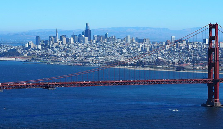
As we head into the week, the San Francisco Bay Area is on the horizon for a brief respite from scorching temperatures. The National Weather Service reports that the current Heat Advisory remains active for elevated inland areas until this evening, marking the last stretch of an intense heatwave. Cooler weather is expected to start rolling in from tomorrow and continue through the middle of next week.
Regarding immediate relief, today persists under the thumb of high temperatures inland but will soon give way to a marine layer expected to deepen over the weekend. An upper-level low, "currently centered 200mi offshore of south/central California", is to credit for the eventual downturn in temperature as it gradually moves north without making significant eastward progress, constrained by the overarching high-pressure system fixed over the Four Corners region, as per the National Weather Service.
Thunderstorms appear unlikely for those looking up and out over the weekend, though the possibility isn't completely off the table. The probability of elevated convection is too low to mention in the forecast, but we can't rule it out entirely. Should an isolated storm muster itself, concerns shift to the chances of wildfire ignition from possible dry lightning as regional vegetation continues to dry.
Moving forward, the cooling arc shapes further into the workweek, melding a "persistent NorCal offshore troughing" into the process. This blend is to sustain near-normal temperatures until the week's midpoint. But don't get too comfortable; warmer days "are expected late next week into the weekend as the ridge migrates westward," potentially rewinding the brief cooldown, according to the National Weather Service.
Aviation and marine interests won't see much disturbance from the weather, with moderate to breezy winds expected Saturday afternoon and lighter conditions forecasted well into next week. For sea-goers specifically, significant wave heights between 10 to 12 ft are current over outer coastal waters, according to the National Weather Service.
Fire weather concerns linger marginally with a remote risk of thunderstorms that might bring lightning, but nothing concrete is indicated for the forecast presently. With fuel conditions becoming increasingly dry and new records being set, vigilance remains essential. The National Weather Service advises, "Our fuels continue to dry while approaching record levels, so if isolated thunderstorms develop, they will have to be watched carefully."
The balm of high fog and mists is already benefiting the Monterey Bay and the North Bay terminals, with expected improvement in visibility as the day progresses. As the weekend concludes, residents can anticipate the shedding of the heat advisory's constraints and a return to more temperate climes for the Bay Area.


