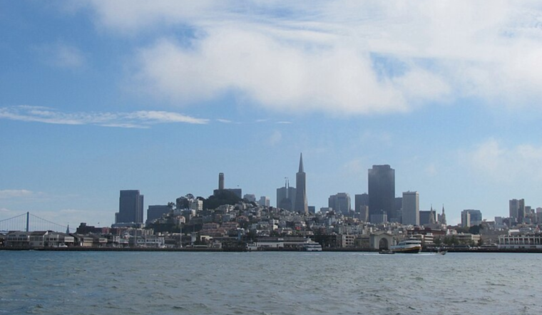
The familiar pattern of San Francisco's cool summers is becoming known, as the National Weather Service (NWS) reports ongoing seasonal to below-average temperatures sticking around through mid-week with a slight warm-up expected late in the week. The marine layer, persistent as ever, has been deepening, and with it, coastal and Bay Area residents are dealing with a blanket of stratus clinging to the early hours; some areas might even see the grayness stubbornly latching on throughout the day.
Temperature-wise, we're looking at highs in the interior areas ranging from the 70s to low 80s. According to the Area Forecast Discussion by the NWS, coastal stretches will likely hover in the 60s to low 70s. Interior Monterey and San Benito counties continue buckling the trend, potentially reaching the low 90s. The marine layer is sitting heavily between 2000-2500 feet, causing widespread stratus that could affect temperatures based on its unwillingness to dissipate swiftly, if stratus does hang around more than expected those areas might not hit their predicted highs which creates a bit of a forecasting puzzle.
In the aviation world, this deep marine layer promotes widespread marine stratus, leading to MVFR/IFR conditions expected to linger into the morning hours for Bay Area airports. Inland terminals might clear up sooner, but coastal ones like SFO might bear the brunt of the low clouds for longer, with high confidence in MVFR/IFR cigs through this morning with little chance of clearing through the afternoon, detailed the National Weather Service in their aviation forecast, indicating travelers should prepare for the fog's impact on their flights.


