San Francisco's fog keeps Bay Area temperatures below average, a trend expected to continue through mid-week due to an upper-level trough over the Western US. Warmer weather is expected by the end of the week as upper-level ridging returns, according to the National Weather Service.
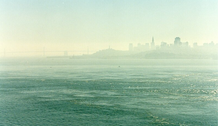
The marine layer, reported by the Fort Ord Profiler as 2000-2500 feet deep, has created a persistent layer of stratus clouds over the bay and coast. This has kept daytime temperatures cool, similar to yesterday when the Bay Area stayed in the 60s and low 70s.
Our weather pattern remains locked in, with the overcast curtain expected to rise only slightly throughout the week. The NWS predicts a refreshed script by Thursday or Friday when temperatures across interior locations might soar into the mid to upper 90s across favored hot spots; however, there's an ensemble of uncertainty in just how hot it'll get, with forecasts potentially tweaking higher as consensus evolves.
The marine layer is causing MVFR/IFR conditions at local airports, but clearer skies are expected by midday. San Francisco International Airport (SFO) is likely to see clouds disperse around 18-19Z with moderate to high confidence before stratus clouds return at night.


