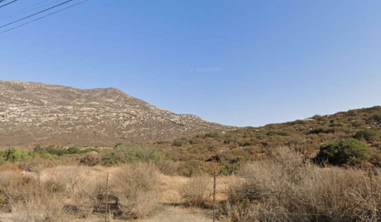
A brush fire named the "Border 66 Fire" ignited in eastern San Diego County today, with the flames simultaneously affecting the U.S.-Mexico border area, FOX 5 San Diego reports. The wildfire originated at the base of Tecate Peak, approximately two-and-a-half miles west of State Route 188. It had engulfed an estimated 296 acres by early afternoon, a rapid expansion from its initial 15-20 acres earlier in the day.
The phenomenon was first reported around 11:15 a.m., and by 1 p.m., firefighters were dealing with a moderately spreading inferno that not only challenged domestic firefighting efforts but also raised environmental and cross-border concerns. According to 10News, part of the fire was burning on the Mexican side of the border.
Despite the thick plumes of smoke visible in UC San Diego's ALERTCalifornia network camera footage, there haven't been any evacuation orders or official reports of threats to structures, including the nearby Tecate Port of Entry; this information was released by Cal Fire in the early stages of the incident. The Border 66 Fire is reportedly the largest to erupt in this region of San Diego County over the past week, following closely after the "Border 65 Fire," which consumed roughly 60 acres in the adjacent Marron Valley area, as per FOX 5 San Diego.
Eyes are fixed on the efforts of fire crews as they combat both ground and aerial fronts in their suppression attempt, a visualization made real by the SkyFOX/KUSI footage capturing active flames in the Sky around the heart of the blaze as the ground teams fortified by the air squad confront the wildfire that now straddles the geographical and political line that is the border, the complexities of these flames are fanned by winds not bound by the demarcations on our maps.


