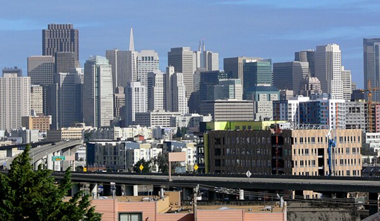
Today marks the beginning of near-normal temperatures that will continue through the Labor Day weekend. Highs today will hover in the interior regions' upper 80s and low 90s. In comparison, the bay shorelines can expect more temperate upper 70s to low 80s, according to the National Weather Service San Francisco Bay Area.
As we inch closer to the weekend, the mercury will dip even further, thanks to the lingering troughing and an approaching cutoff low. Gather your light jackets and plan some outdoor fun, as the NWS forecasts a pleasant and slightly below-average temperature range with mid-80s inland and comfortable 70s around the bays. The coastal areas and delta region will also experience the typical brisk seabreeze in the afternoons, making for an ideal setting for the holiday weekend celebrations.
However, don't pack away your summer attire just yet. The NWS has hinted at a warmup starting Tuesday next week. "A ridge begins to develop as the aforementioned cutoff low exits to our northeast," the National Weather Service reported. This signals a shift to above-normal temperatures, aligning with the Climate Prediction Center's outlooks for the 6-10 and 8-14 day periods. Bay Area residents should also be attuned to decreasing relative humidity levels and shifting to a drier, northerly wind pattern, which may increase fire risk in our drought-stricken region.
For those taking to the skies, the aviation forecast indicates some challenges with LIFR and IFR cloud cover affecting most terminals, except Livermore Valley. "IFR CIGs build in the early morning," the National Weather Service noted, predicting winds will stay moderate through Thursday afternoon, with cloud covers expected to dissipate late in the morning. Mariners, meanwhile, can expect relatively calm conditions continuing into the weekend, with the anticipation of northwesterly winds and increasing seas by late Sunday.


