El Paso residents are gearing up for a string of sweltering days ahead, as the National Weather Service forecasts a series of hot, sunny conditions for the region. According to the latest update, temperatures are expected to soar into the low 100s, starting with a high near 101 degrees today and peaking around 102 degrees on Wednesday.
With the city accustomed to its fair share of heat, locals might find some solace in the light winds, predicted to come from the east-southeast at around 7 to 9 mph, during the day. The evenings are forecasted to bring minimally cooler temperatures, with lows hovering around the 78-degree mark, alongside similar wind conditions. As for any respite in the form of precipitation, chances will be slim, with only a 20 percent chance of showers and thunderstorms before midnight on both Thursday and Friday nights.
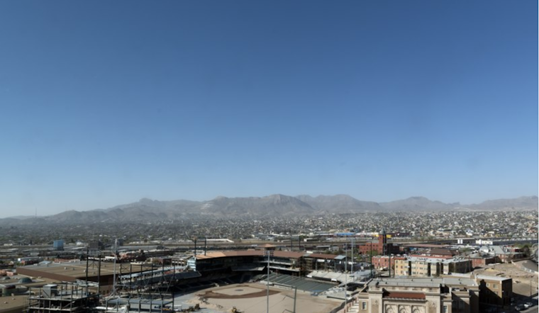
In addition to the heat, the NWS advises caution regarding air quality, especially for vulnerable populations such as young children, elderly individuals, and those with respiratory conditions. The calm wind conditions accompanying the heat may lead to stagnation, causing pollutants to become trapped near the surface.
Citizens looking towards the weekend for relief will need to maintain patience, as temperatures are slated to remain consistently high. Saturday's forecast promises a high near 100 degrees, and that pattern is expected to continue well into the beginning of next week, with Monday's temperatures flirting with the high 90s. As the week unfolds, nights will generally be mostly cloudy, with a low of around 77 degrees, providing a slight relief from the day's heat.
For more detailed information on the upcoming weather conditions, El Pasoans can visit the National Weather Service. Staying informed and prepared is the best defense against the relentless Texan sun as another hot summer week unfolds in El Paso.


