As a disturbance drifts in from Arizona, the National Weather Service Las Vegas is forecasting increased shower and thunderstorm activity for the region this afternoon and heading into the weekend. According to a recent NWS update, we should prepare for these changes to continue into next week, with high pressure bringing rising temperatures and a heightened heat risk over the weekend.
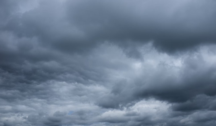
This shift in weather comes as clear skies in the morning are set to gradually fill with clouds, with the disturbance bringing in moisture that can sprout storms, bringing gusty winds particularly across Mohave County. The NWS notes to begin to expect shower activity throughout the Mojave Desert by the early morning hours as the moisture persists.
For Las Vegas specifically, light winds will prevail today and tonight, with east-southeast winds emerging later in the morning before turning southwest post-sunset. The NWS predicts, "Clouds will be scattered to broken today and tonight, but bases should remain 12kft AGL or higher." Scattered showers and isolated thunderstorms are on the radar for early Friday morning, possibly affecting southern Nevada and the surrounding areas.
Pilots should prepare for potential disruption, as there's a 30 percent chance of showers at the Harry Reid terminal between 12Z and 18Z Friday, along with the possibility of erratic winds. For the wider southern Nevada, northwest Arizona, and southeast California area, the winds should generally stay below 10 knots, though there will be stronger gusts at specific locations like KDAG and KBIH, according to the NWS release.
As the weekend approaches, the heat coupled with moisture will make for a more oppressive feel. Residents in the lower elevations of the southern Mojave Desert, including parts of the Colorado River Valley, are likely to experience higher heat risks near to Major or Extreme levels. The weather service emphasizes the forecasted above normal temperatures and the potential of muggy conditions, with dewpoint temperatures expected to linger in the 40s to 50s.
Local weather spotters are encouraged to report significant weather conditions following the standard procedures, aiding the NWS in keeping the public informed and prepared. As the monsoonal moisture hangs over the region, the likelihood of continued thunderstorms and showers, especially in the afternoon, will stay noticeable in the eastern portions of the forecast area. Stay updated and watch for alerts as conditions evolve.


