The National Weather Service in the San Francisco Bay Area has predicted a slight uptick in temperatures today through Wednesday before a notable change in weather pattern. On Thursday, the Bay Area is slated to experience the effects of a rare cold front for August, which is expected to bring gusty winds, cooler temperatures, and a possibility of rain through to Friday. According to the NWS forecast, highs today will range from the mid-80s to low-90s in inland valleys to the upper 50s to 60s along the Pacific coast.
The weather shift is attributed to an upper-level trough off the Pacific Northwest weakening, slightly warming the region, before giving way to the colder system later in the week. The NWS noted, "On Wednesday, the disturbance will move through the Pacific Northwest kicking off a cooling trend." This trend will reintroduce the marine layer and low stratus back to coastal areas. Additionally, 500 mb heights are said to be near the 4th standard deviation, with 850 mb temperatures around 6C, which are closer to typical January temperatures rather than a value typical of the August median.
The changing conditions may also impact travel and aerial operations. The NWS aviation forecast advises that VFR conditions will prevail for the most part, but gusty winds are expected Tuesday afternoon, particularly at KSFO, where they may approach 30 knots. Stratus clouds could approach the coastline late Tuesday night into early Wednesday morning, potentially affecting visibility at local airports.
The weather disturbance is brief. However, conditions are forecast to normalize by Sunday, with the possibility of temperatures climbing above average next week. Meanwhile, on the waters, the NWS has advised mariners to anticipate "Fresh northwesterly winds persist through the week." Dry weather is projected to return by Saturday, with the winds easing and becoming gentle. However, boaters are still advised to exercise caution, especially during the period of the cold front passage.
For those planning end-of-summer activities or simply going about their daily routines, the Bay Area weather will demand flexibility and preparedness for the blustery conditions ahead. Stay updated with the latest weather developments by following NWS Bay Area X posts for real-time information and updates.
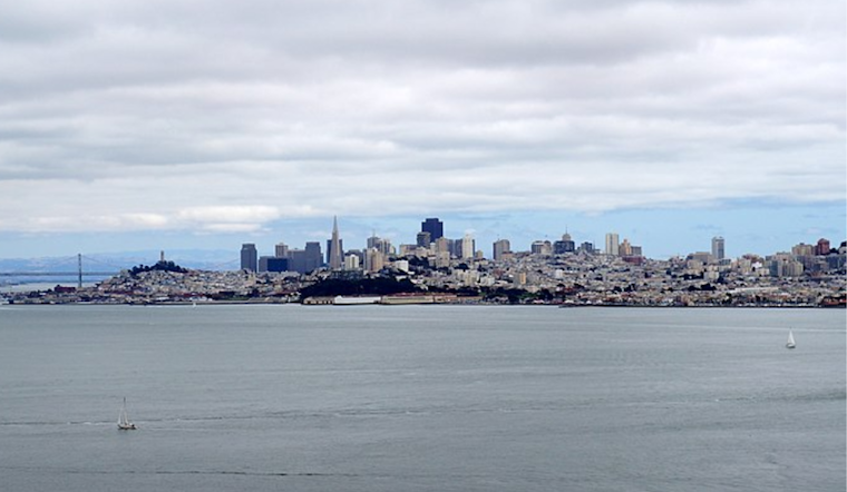
A rare August cold front will move through the Bay Area Thursday. Expect gusty winds, cooler temps and a slight chance of rain. #CAwx pic.twitter.com/vv1mHv2Gz7
— NWS Bay Area 🌉 (@NWSBayArea) August 19, 2024


.jpg)