The San Francisco Bay Area is experiencing a sprinkle of late August showers, unusual for a month typically marked by Mediterranean-like dryness. The National Weather Service's San Francisco Bay Area office reported light rain chances for today, with temperatures expected to rebound early next week. This turn in the weather comes as a low pressure system moves southeastward, temporarily disrupting the typical summer high-pressure patterns that keep the region dry.
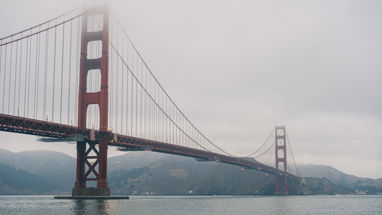
Sonoma and Marin counties are feeling the effects of this system, with rain gauges on Mt. Tamalpais registering about 0.05 inches of precipitation. San Francisco, which averages a mere 0.06 inches in August, is poised to receive a similar, if not slighter amount. "Widely scattered light showers are seen on KMUX radar, a few sprinkles from high based clouds are noted as far south as northern Monterey County", reported the NWS. Similarly, a post from NWS Bay Area's X account noted that areas like San Francisco and Daly City could expect a passing shower, marking a light deviation from the norm in this often parched summer month.
Sonoma and Marin counties with light rain showers, got 0.05" on Mt Tam. On radar it looks like San Francisco and Daly City are about to get a passing shower. San Francisco August normal is 0.06". #CAwx pic.twitter.com/21SyYoNoFW
— NWS Bay Area 🌉 (@NWSBayArea) August 24, 2024
The forecast draws attention to a "dynamically cooled pool of air aloft within the low" that has pulled in higher-than-usual levels of precipitable water for this time of the year. While the occurrence isn't significant enough to pull the region out of drought conditions, it disrupts the dry spell often experienced in the second driest month of the year, in which "the typically wettest spots in the North Bay normally not getting more than a few hundredths of an inch", according to the NWS.
Following this brief interlude of moisture, the Bay Area's climate is expected to hew closer to its usual patterns. "For Sunday the low will have moved well eastward and 500 mb heights will return to 580+ decameters Sunday and 590 decameters Monday", the NWS forecasts, indicating a warming trend as the week begins. Mariners, meanwhile, should prepare for moderate northwest winds through the weekend. A Small Craft Advisory has been issued for the afternoon and evening across certain areas due to stronger gusts and the rough seas anticipated in northern waters by mid-next week.
The equivocal tap of the heavens may provide transient respite from the persistent summer heat, but the larger narrative of California’s dry season remains overwhelmingly unchanged. As the NWS goes on to state, "recent global model output has trended 2 to 3 Celsius lower in 850 mb temps (similarly at the 925 mb level) over our forecast area during that time", suggesting that while the days ahead may see a mild uptick in temperature, there will be no significant departure from the seasonal heat we anticipate in our corner of the west coast realm.


