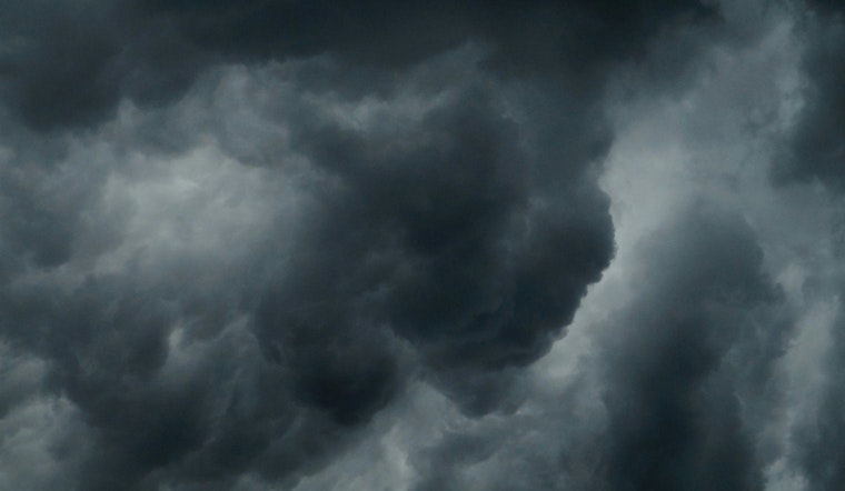
The skies over Austin continue to mutter with the threat of showers and thunderstorms, suggesting the city's rain gear should remain on standby, according to the latest weather predictions. The National Weather Service reports that there's a "60% chance of precipitation" today, with potential thunderstorms post-4pm, pointing toward a day of mostly cloudy skies and a high hovering near 88 degrees.
Disparate pockets within the Hill Country could experience an accumulation of rainfall between 0.1″–0.25″, but certain areas might confront the heftier sums of 1″–2″; this varied deluge continues to cast a watchful eye on counties like San Saba and Mason, where saturated soils are alarmingly flirting with the possibility of localized flooding tonight, North northeast wind around 5 mph becoming calm in the evening remains consistent with a probability of 60% precipitation as per KXAN report.
However, as we press into the midweek, optimism for drier days climbs with only a 30% chance of precipitation on Wednesday, gradually declining towards the end of the week; the anticipated transition heralds the advent of what one might call an early whisper of autumn in Central Texas.
Aided by drier air, the temperature's nightly retreat will graciously dip into the 60s, gifting Austin with cooler mornings by the time Sunday rolls around meanwhile the forecast underscores a "mostly sunny" disposition towards the end of the week with temperatures steady in the low 90s, promise of clear skies beckons as the week unwinds, offering respite and a tangible sign that, perhaps, the rains are yielding their stage.


