After recent heavy rains soaked the Hill Country, delivering between 5 and 7 inches of precipitation, Austin residents can look forward to a reprieve. KXAN reports a notable decrease in rain chances for the remainder of the week, with the Lower Colorado River Authority taking measures by partially opening floodgates at both Wirtz Dam and Max Starcke Dam to alleviate any potential flooding concerns.
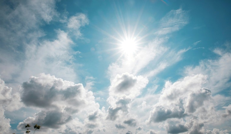
The forecast for today in Austin, according to the National Weather Service, includes "a 20 percent chance of showers and thunderstorms after 1pm," while temperatures climb to a high near 90 degrees. The moisture-saturated soil from previous downpours will soon give way to drier air, leading into a weekend poised for more outdoor-friendly conditions.
As the week progresses, Austin anticipates mostly sunny skies with highs continuing to hover around the 90-degree mark. The city will see a "20 percent chance of showers" popping up intermittently through Friday afternoon, but this will likely not compare to the recent deluge that warranted action from water management authorities.
The plunge in night-time temperatures is another highlight, with Austin expected to experience lows in the 60s for the first time since May, as indicated by KXAN. These autumnal whispers offer a brief respite to Austinites weary from the extended embrace of summer's heat. The weekend outlook suggests dry conditions, with gentle north-northeast winds that may come with occasional gusts as high as 20 mph.
Come next Monday, the trend of sunny days and starlit nights will likely persist, laying out ideal conditions for outdoor activities or just enjoying the vibrant city life. A glance at the extended forecast reveals a steady pattern of clear skies and agreeable temperatures, ensuring that citizens and visitors alike can comfortably navigate the bustling streets of Austin.


