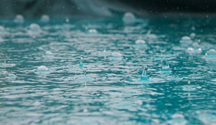
Nashville residents should prepare for wet days ahead, with a high chance of showers through the weekend and temperatures in the low 60s. Cloudy skies and blustery winds from the south-southwest will keep the low around 62 degrees, according to the National Weather Service.
There is a 90 percent chance of rain today, with a high of around 67 degrees. Gusts of up to 25 mph were reported earlier, adding to the chilly, damp conditions. Rainfall is expected to be between a tenth and a quarter of an inch.
The National Weather Service indicates that the wet weather will persist into Saturday evening, with showers mainly before 10 pm. The low for the night is set around 63 degrees, with a more gentle southwest wind accompanying the tail end of the rains. New precipitation amounts will mirror those of the daytime; again, no more than a quarter of an inch is expected.
As Sunday rolls in, uncertainty lingers with a 50 percent chance of showers set against a backdrop of mostly cloudy skies. The mercury is slated to creep higher, reaching toward a more comfortable high near 73 degrees. Despite the potential for a dismal start, the evening sees an improved outlook—a mere 20 percent chance of showers before 1 am. The temperature will settle around 63 degrees with a gentle westward breeze.
Looking ahead to the workweek, Monday will be a mix of sun and clouds and a 30 percent chance of afternoon showers, possibly disrupting any outdoor lunch plans. The high is expected to be warmer at 78 degrees. Fog may visit come nightfall, while Tuesday dawns mostly sunny and promises warmer weather still, peaking near 82 degrees according to the National Weather Service forecast. From then on, clear skies are on the horizon, with the city finally drying out under sunny conditions Wednesday through Friday and highs ranging from the mid-70s to low 80s.


