

























































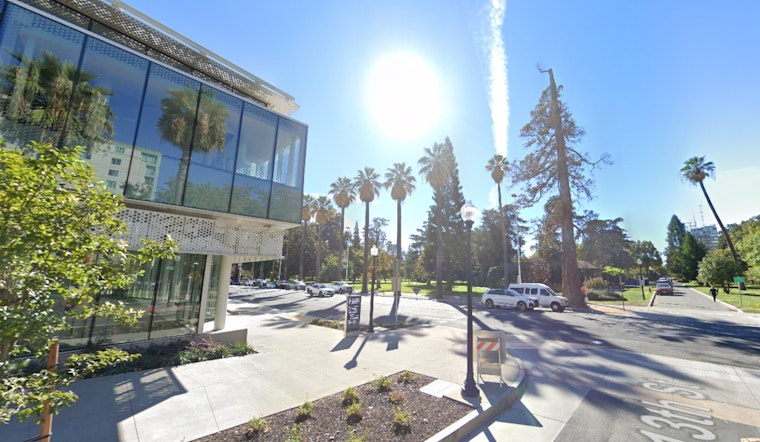
Sacramento is expecting another warm spell, with temperatures in the 90s and possibly reaching over 100 degrees on Monday and Tuesday. The National Weather Service warns that this heat increases the fire risk, especially early in the week.
According to the National Weather Service, residents in the Sacramento Valley and adjacent foothills can expect "breezy north winds at times," primarily in the late morning and afternoon hours. Monday and Tuesday are flagged for potentially stronger north winds, which, alongside low relative humidity, "will result in elevated fire weather conditions." For those planning outdoor activities or travel, these conditions may require additional caution, particularly given the gradual lowered humidity caused by the winds.
The weather in the coming days will be warm and dry due to a high-pressure system from the eastern Pacific. However, this system is expected to move east by Wednesday, allowing for cooler temperatures and higher humidity as a weak trough brings in more onshore flow.
The extended forecast from Thursday through Sunday points to continued dry conditions, with a series of short-wave troughs passing through the Pacific Northwest. As these troughs progress, they will suppress the upper ridging over interior NorCal. "Dry weather expected with seasonable temperatures," the National Weather Service reports, indicating a move towards more typical weather for this time of year.
For aviation interests, the next 24 hours should maintain VFR (Visual Flight Rules) conditions. Except in the vicinity of the Delta where southwest surface winds may reach 15 knots at times, surface wind is anticipated to be below 12 knots across interior Northern California.





