The National Weather Service in Salt Lake City has issued a forecast indicating patchy smoke and sunny skies today with a high near 94 degrees. According to the National Weather Service, the light and variable wind will become northwest around 5 mph in the afternoon. Tonight, locals can expect the patchy smoke to continue before clearing up around 3 a.m., with the temperatures dipping to a low of around 67 degrees.
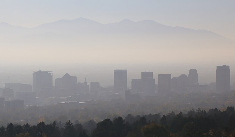
The relatively clear skies come despite a persistent concern over air quality in the region. As Labor Day approaches, the NWS anticipates a 20 percent chance of showers and thunderstorms after noon, with highs again touching near 94 degrees. The chance of precipitation increases to 40 percent by Monday night, while the overnight low is projected to be around 65 degrees. The transition into the mid-week brings a mixed bag of mostly sunny conditions and sporadic chances for showers and thunderstorms.
Holiday-goers can expect a southeast wind of 6 to 9 mph becoming west-southwest in the afternoon during Labor Day. This is followed by a South southwest wind around 7 mph on Monday night, becoming southeast after midnight, indicating a dynamic weather pattern as the week commences. The continued chances of rain into Tuesday are forecasted at 30 percent, with thunderstorms possible after noon. However, the week is expected to clear up post-Tuesday, ushering in continuous sunny days.
Looking ahead, the NWS projects a sunny week with highs consistently in the mid to high 80s, providing ample opportunity for residents to enjoy late summer outdoor activities. By Wednesday, the high is expected to be near 84 degrees with an overnight low around 59. Similar conditions persist through to the weekend, with mostly sunny days and nighttime lows in the low 60s, before a slight increase to evening lows in the mid-60s as the week wraps up. These warmer nights portend the gradual transition from the high-energy days of summer to the subdued, cooler evenings of fall.


