The National Weather Service San Francisco is expecting light rainfall, with most Bay Area sites slated to receive just a few hundredths of an inch of precipitation. According to the National Weather Service forecast discussion, the greatest probability for these showers can be found in the North Bay, with a 40-45% chance. Cooler high temperatures are also forecasted for the day, with interior regions lingering in the 60s and coastal areas in the upper 50s to low 60s. Windy conditions are set to persist through early Tuesday morning, with gusts potentially reaching up to 35 mph in some parts of the region.
Looking ahead, weather patterns suggest we should snugly settle into a trend of below-average temperatures that will stretch into next weekend. "Overall, not a lot of fluctuations in high temperatures this week with most sites observing temperatures 5 to 15 degrees below normal," the National Weather Service stated. Tuesday is expected to be the driest day before two additional weather systems roll in later this week. For those planning on getting their Halloween festivities on Thursday, there's a chance for spotty drizzle, so to properly enjoy the evening, layering might just be the smart move.
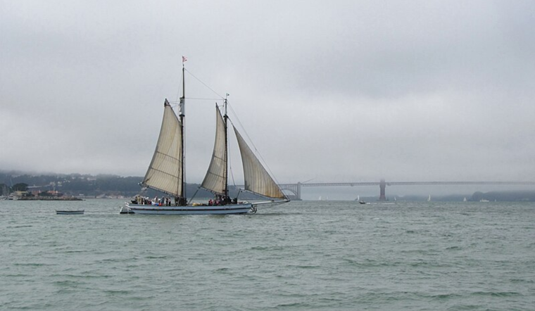
Marine conditions in the Bay will be choppy, with small craft advisories issued for various coastal waters. Sailors and boaters should prepare for stronger northwest winds and rising sea states today and early in the week. The NWS warns that the marine environment will remain lively thanks to a succession of cold fronts, keeping seas building and winds gusting into the weekend.
While the precipitation figures seem modest at best, any amount of rainfall is beneficial in a state perennially worried about drought. With the European weather model hinting at a system that might develop into a cut-off low as it moves into southern California and Arizona, the possibility for wet weather seems to extend. However, according to the National Weather Service update, "not all models agree with this as while the GFS does show the low strengthening and moving south into southern California and Arizona, it does not show the low becoming cut off."


