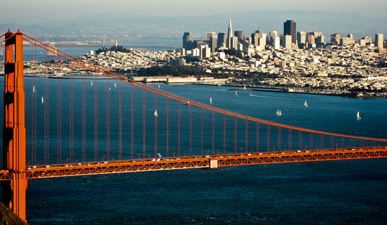
As the Bay Area bids farewell to the Red Flag Warning that cast a shadow of caution over the region, residents can breathe a little easier, but not without vigilance. According to an update from the National Weather Service Forecast Office in San Francisco, California, once gusty offshore winds have calmed, the transition to onshore flow will resume by the late weekend, potentially offsetting some of the immediate wildfire risks that have plagued the area. The NWS also noted that while winds are easing, critically dry conditions are expected to last through the early part of next week, urging the community to maintain proactive wildfire prevention measures.
While no new Red Flag Warnings are on the horizon, the existing dryness of the Bay Area landscape heightens the call for continued prudence. A statement obtained by the NWS San Francisco highlighted the predicament. "The overall trend in moisture is going in the right direction, but the RH will still be well in the ballpark of elevated fire concerns today." With the lack of wind preventing a more serious fire weather alert, the inherent danger posed by the arid conditions remains high, a testament to the paradoxical nature of meteorological reprieve.
Looking ahead, a tentative sigh of relief comes in forecaster promises of increasing moisture throughout the week as "normal" onshore flow resumes. As reported by the NWS San Francisco, the marine layer, essential to the hydration of the parched terrain, will deepen, potentially gifting some light drizzle to coastal regions and ones favored by upslope conditions as early as Monday, and more noticeably come Friday. Even though the forecast suggests a more hydrated milieu by week's end, confidence in specific prognostications for rainfall remains a game of wait-and-see.
Flight operations in the region should not expect significant weather impediments, as "VFR with light breezes" dominates the current outlook. Per the NWS San Francisco's aviation discussion, off-flow predominates through the morning, with a gradual shift to onshore winds coming in the afternoon. No major disruptions are anticipated, but the authority promises vigilance in monitoring marine layer developments and is ready to issue amendments to the Terminal Aerodrome Forecasts if necessary.
Mariners, too, will encounter calmer seas as the gradient slackens along the Pacific Coast. With moderate sea heights forecasted between four to eight feet through the week, the NWS informs that a weak cold front anticipated for Monday will not significantly stir the waters, reassuring those out at sea of a relatively stable aquatic environment.


