The Bay Area's intense heat wave has finally broken, giving way to cooler temperatures and the possibility of light rain on the horizon. The National Weather Service San Francisco noted that while inland temperatures will remain approximately five degrees above normal, coastal areas should expect conditions closer to typical October weather as the marine layer reasserts after a weeklong absence.
Residents can expect the cool down to gradually continue as we head into the weekend. The cooler air is part of a larger pattern change, with "more pronounced onshore flow returns under quasi-zonal flow aloft" today, according to the NWS San Francisco forecast. By Thursday, cloud cover is set to become more widespread along the coast and inland. Despite this, temperatures are anticipated to hover around normal area-wide, marking a significant shift from the recent scorching days.
Looking ahead to the weekend, the NWS San Francisco anticipates an increase in cloud cover and "light precipitation beginning as early as late Friday night" in some northern areas, expecting less than a tenth of an inch of rain. While most inland locations will stay dry, those closer to the coast from the Bay Area down to Monterey Bay can expect drizzle and fog during overnight and early morning hours late Friday into Saturday. NWS San Francisco's long-term forecast also suggests a return to above-normal temperatures early next week as upper-level ridging builds over the area in the aftermath of the low-pressure system.
Aviation across the region will see some impact due to the changing weather conditions. "IFR/LIFR CIGS have become widespread, with some areas seeing reduced visibility," mentioned the NWS San Francisco morning aviation forecast. Moderate to breezy afternoon winds are expected, with gusts around 22 knots lasting into the night across San Francisco International Airport and nearby approaches. Monterey Bay terminals will similarly experience low ceilings and pockets of mist through late morning, with conditions improving later in the day.
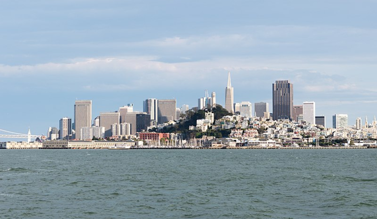
Mariners aren't to escape the influence of shifting weather either. The NWS San Francisco advises moderate to breezy winds and rough seas, particularly in the outer waters persisting into the late week. The weather service cautions against the potential for locally breezy winds, specifically in the northern waters, as the weekend rain system approaches. In related news, the NWS Bay Area's X post update confirms the cooling trend, forecasting temperatures to "continue to cool through the rest of the week, reaching levels near the seasonal averages by Friday into the weekend." This signals a reprieve from the heat and an introduction to the Bay Area's famed autumnal weather.
Temperatures will continue to cool through the rest of the week, reaching levels near the seasonal averages by Friday into the weekend.
— NWS Bay Area 🌉 (@NWSBayArea) October 8, 2024
Also coming this weekend: chances of light rain! #CAwx pic.twitter.com/Pkq8RrJ1IC


