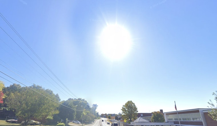
Knoxville will have a mostly sunny day with a high near 79, but weather conditions are expected to change throughout the week. Calm winds this afternoon will shift to the southwest at about 5 mph, clearing the fog that is expected between 9 and 10 a.m. Tonight, temperatures will drop to around 58 under partly cloudy skies, with the southwest wind calming after a light breeze, according to the National Weather Service.
Looking ahead, Thursday's forecast includes partly sunny conditions with a high near 80. Light winds in the morning will increase to 10 mph, with gusts possibly reaching 20 mph. Thursday night brings a 40 percent chance of showers after 2 a.m., with a low around 63. On Friday, overcast skies are expected, along with a continued chance of showers before the afternoon, resulting in a high near 70. Winds are forecasted to remain from the southwest at about 5 mph.
As the weekend approaches, the forecast improves slightly with partly sunny skies on Saturday and a high near 76. Sunday will be a bit warmer, with temperatures reaching around 78. Early next week, Monday and Tuesday are expected to be mostly sunny, with highs near 78 and 79, respectively.
In its Hazardous Weather Outlook, the National Weather Service warns of downslope or mountain wave-like winds over the Southern Appalachians early this morning and late tonight. Elevated areas may see gusts up to 35 mph, while most other areas can expect winds of 20 to 30 mph. However, after today, no hazardous weather is expected for the rest of the week.
Residents in areas prone to high wind gusts should take precautions by securing outdoor items and being cautious of potentially hazardous driving conditions in elevated areas. No spotter activation is needed at this time, but the situation is being monitored. For more information and updates, residents can visit the National Weather Service website.


