

























































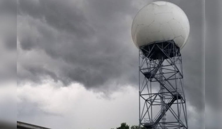
Knoxville rolled into Thursday, July 23, 2026, under a gray, drippy sky, with low clouds, fog and light rain keeping temperatures stuck in the upper 60s to low 70s near McGhee-Tyson Airport. Visibility is spotty in places and roads are slick, so commuters should expect slower drives and pockets of standing water on low-lying streets. Forecasters say this steady, soggy start could still escalate into heavier, localized downpours later today.
Flood Watch And Where To Be Careful
A Flood Watch remains in effect through this afternoon for much of southern and southeast Tennessee, including Hamilton, Monroe and Polk counties, and for parts of western North Carolina, according to the National Weather Service in Morristown. Forecasters warn that a narrow axis of very heavy rain could drop several inches in a short time, creating a flash-flood threat in low-lying neighborhoods and along small streams. Overnight radar already picked up pockets with 2–3 inches of rain in spots, and they caution that repeated training storms could push totals even higher in a few locations.
Timing And Travel Impacts
The main window for trouble runs from overnight into mid- to late-morning Thursday, July 23, with a front expected to sag south and ease showers by mid-afternoon for most of the valley. That lines up the morning commute as the period of greatest concern, with low visibility, sudden ponding and standing water on underpasses listed as the most likely impacts. Highs should rebound into the mid-80s this afternoon, followed by a cooler, drier stretch for parts of the region later in the day.
What To Do
Drivers should avoid flooded roads entirely; even a few inches of water can stall a car, and stronger currents can sweep vehicles off low bridges. Residents in flood-prone areas are urged to move valuables to higher ground and keep phones charged for potential warnings. For shelter or resource information, call 2-1-1 and follow guidance from local officials before heading out.
Looking Ahead
Additional scattered showers and storms are likely Friday into the weekend, with a higher chance of rain on Saturday, and temperatures climbing back toward the low 90s early next week, including highs around 90°F on Monday, July 27, and near 91°F on Tuesday, July 28. For background on the developing setup and previous advisories, see how training storms put Knoxville on edge.





