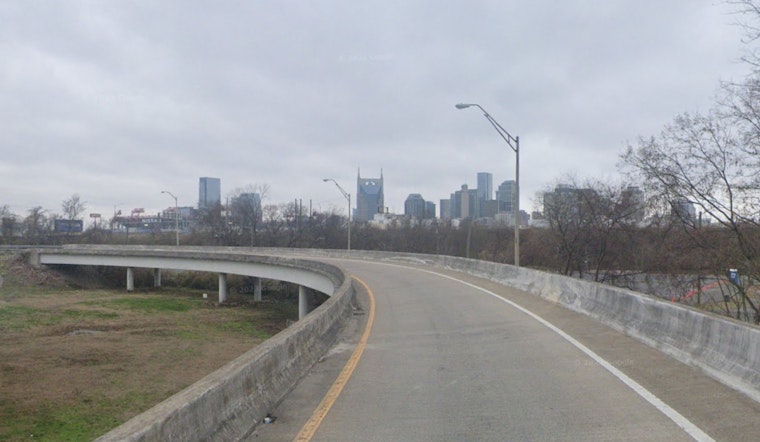
The National Weather Service in Nashville has issued a Dense Fog advisory, which is in full effect until 9 a.m. CDT this Thursday morning. As per the NWS advisory, visibility is expected to be a quarter mile or less in areas of heavy, dense fog, a condition presenting challenges for the early commuters of Middle Tennessee. The NWS cautions that the fog could render driving conditions hazardous across multiple counties, suggesting that those on the road should slow down, engage their headlights, and maintain a significant distance from other vehicles.
Apart from the early morning advisory, the weather in Nashville for the rest of the day appears to be mostly sunny with a high near 83 degrees, as calm winds from the east southeast pick up slightly. The region is expecting another bout of patchy fog come early Friday morning, but, this too should give way to sunny skies and a lofty high near 87 degrees. Nighttime conditions will remain partly cloudy followed by more clear skies over the weekend—weather typical of early October in the region.
Saturday and Sunday continue this trend with uninterrupted sunshine and highs soaring to the mid-80s. The calm wind will take a slight turn west southwest on Sunday, ranging between 5 to 10 mph. The clear skies promise agreeable conditions for any outdoor activities planned for the weekend, although let's remember the occurrence of patchy fog between 2 a.m. and 3 a.m. Saturday night.
Looking ahead to next week, Nashville's weather looks to stand firm in its sunny disposition. With clear skies prevailing and temperatures slowly tapering off to a high near 74 by Wednesday. The evening temperatures are also expected to drop to cooler lows around the 50s, making it feel more like the fall season entrenched in Tennessee, according to the National Weather Service. This early October weather, is a reprieve from a summer past and a gentle nod toward the coming chill of late autumn.


