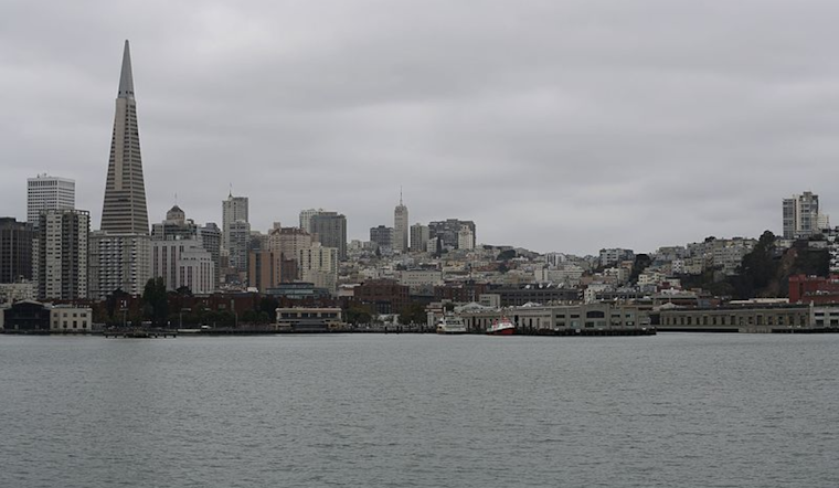
San Francisco residents should prepare for cooler weather as a cold front moves across the Bay Area and Central Coast, bringing light rain and the chance of thunderstorms in the north on Monday. The National Weather Service (NWS) in San Francisco predicts winds picking up to 15-20 mph, with gusts potentially reaching 30 mph by Tuesday.
Although tonight's temperatures may remain in the 50s, cooler conditions are expected throughout the week. Temperatures will drop into the upper 40s to low 50s in lower elevations, with even chillier conditions in higher areas. The NWS also warns that wet roads may create hazardous travel conditions.
According to the NWS 7-day forecast, rain is likely throughout the week, with a 50% chance of showers on Monday, especially after 11 a.m. More light rain and drizzle are expected through Thursday, with heavier rain potentially arriving late Wednesday night into the weekend.
A Small Craft Advisory is also in effect until Tuesday for coastal waters between Point Arena and Point Reyes and from Pigeon Point to Point Pinos. The NWS warns of wave heights between 10 and 12 feet, which pose risks for seafarers.


.jpg)